
If there’s a defining term for the current situation of companies and institutions is incertitude. We can’t know what’s going to happen in 2021 but we can tell you that we have resources so you can face what’s coming. No matter what happens we know that the space component will be the key to effective solutions. Do you want to know more about them?
If we’ve learned something along our 20 years of experience on GIS is that territory and the circumstances that surround it are constantly changing. This evolution is sometimes progressive and some other times requires a huge ability of reaction.
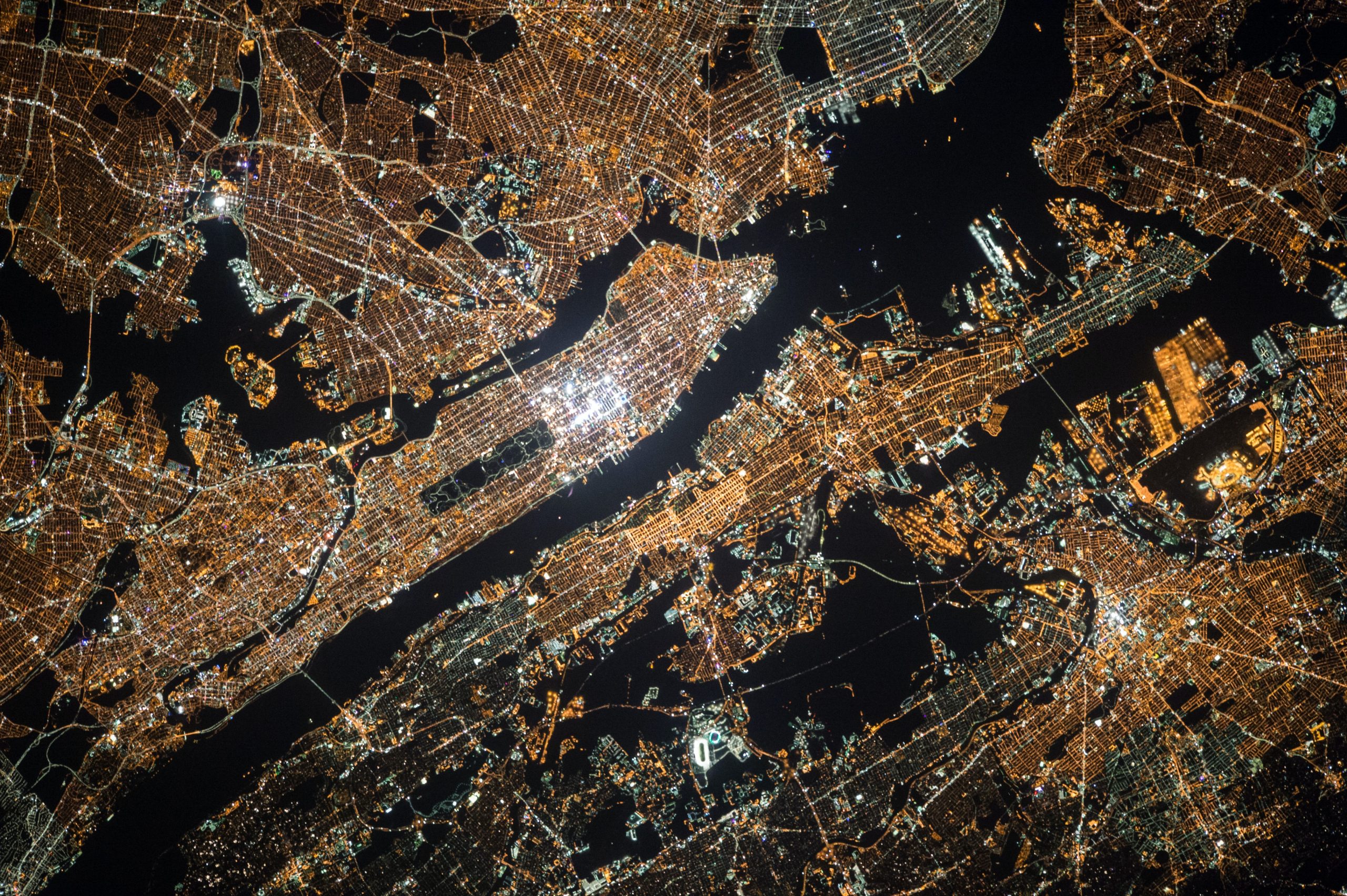
In recent years, technology has made a major contribution to the development of applications based on geospatial information. And, most importantly, citizens, companies and public entities are requiring more and more of these services because of the improvement that this technology brings to their lives, businesses management, cities and infrastructures.
Geographic information is also useful in the current pandemic situation, for example, to study how the disease spreads in different areas. It’s also used to know how mental health issues caused by social distancing are related with geographic variables.
What solutions do we propose from Geograma
Usually, companies have large databases, but they can’t fully benefit from them because they don’t have the possibility to give the data a proper context.
Here’s where Geograma can help. Nowadays, most maps are made without thinking about the audience that will use them. Geograma thinks about the audience to design their maps and geographic datasets and uses ultimate technology in this process.
Who can use these solutions?
There are two possible scenarios where Geograma’s geographic intelligence solutions can be applied:
External scenario
On this scenario there are two solutions which public institutions can take advantage from:
- Digital Earth: A digital representation of the territory that allows a better understanding of the relationships between elements on the territory. Its application helps in the optimization of the Public Administration’s decisions and speeds up the information search.
- Digital Street: Based on the economic promotion of a territory using Location Intelligence. As a result, sustainable development is guaranteed.
Inner scenario
In this scenario, there are the private companies who improve their results thanks to the added value of Geographic Intelligence. That’s more relevant in these months of incertitude.
For example, for indoors -as stores, factories or gyms- a visual intelligence and IoT based strategy is designed and used for space planning and change tracking.
We offer segment solutions depending on the scenario. In each scenario we focus on results and consider that not everydata has the same importance to different companies and not every company has the same needs.
Even if our world has changed very fast and in an unexpected way in the last months, Geograma principles are still those that made our clients trust us.
Our work is based on communication and humanization of technology, building a bond between physical and digital and ensuring its understanding worldwide. That brings efficiency, speed, gestion improvement and process optimization.
We would like to offer you all the information you need through our multiple channels, as our blog and our social media profiles (Twitter and LinkedIn). We’ll be happy to see you there!