
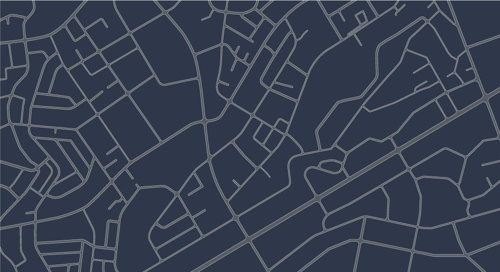
360º GIS
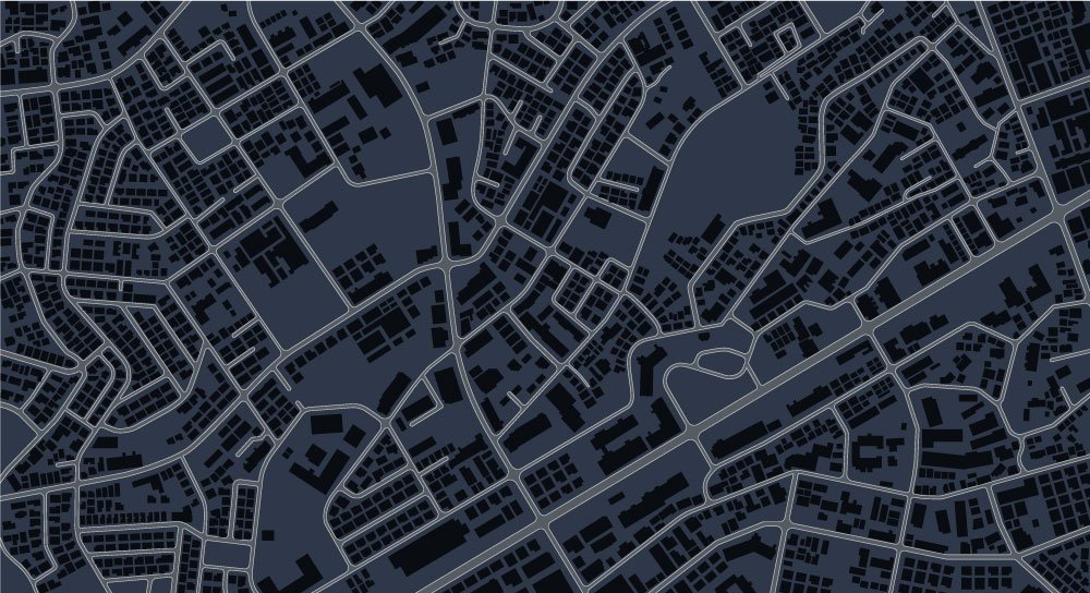
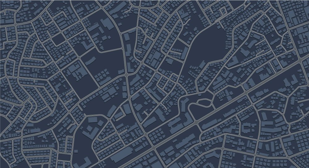
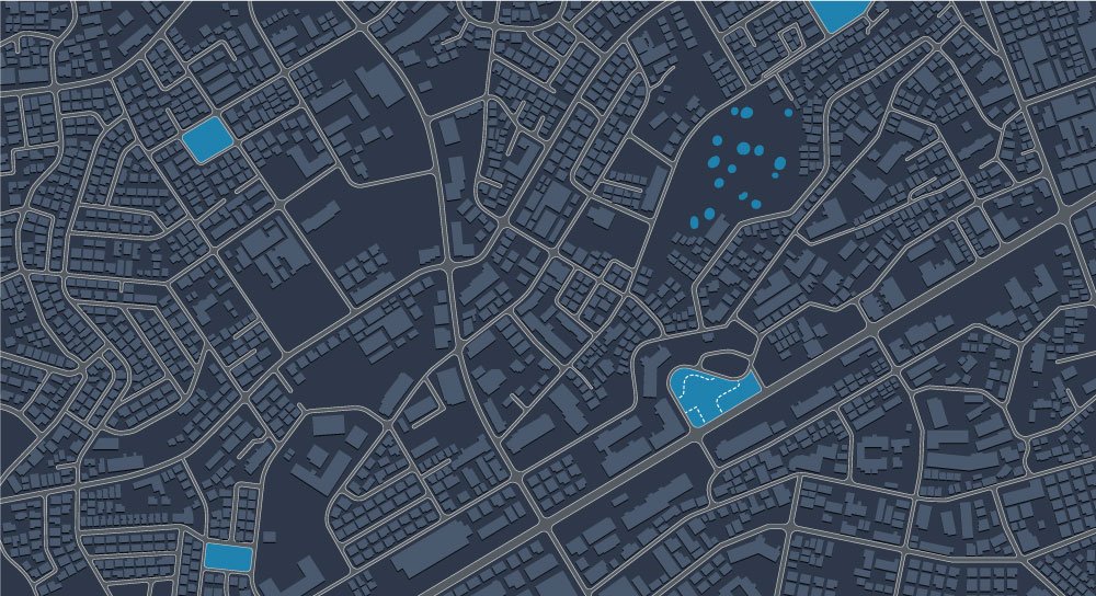
The value of digital maps
We help to have the right information, in the right place, at the right time, so that the maps provide all their value for: Planning and modifying spaces, improving decision making and asset management, monitoring and communicating efficiently, or managing risks.
In Geograma we offer GIS consulting services and we have the necessary technology to collect geodata, integrate them and develop geographic solutions from them.
We bring geographic data closer to users by offering professional GIS services.
Since 1998, we offer professional GIS services, with expertise in these 5 areas of knowledge:
GEOGRAPHIC INFORMATION SYSTEMS
GIS and Location Intelligence to know your environment and grow
Property
Property
Technology
Technology
Inventory and Mapping
Inventory and Mapping
Management and Treatment
Management and Treatment
Data licensing and technology tools
Data licensing and technology tools
- Traffic, historical and real-time solutions to optimize road traffic and improve safety based on TomTom and Here's Floating Car Data technology. - FME. ETL data transformation and integration software for GIS professionals and data engineers. - Geocassini. 3D georeferenced topographic data platform based on point clouds, 3D models and BIM. - No code" platform to publish webGIS applications, easily configurable. - Amazon cloud-based map hosting.
Learn moreExperts in Geographical Intelligence
We bring geographic data closer to users by offering GIS Professional Services.
GeoInformation capture, processing and management services, GIS development and integration.
Applying digital mapping solutions
Discover how our customers have applied geographic intelligence and geographic information systems.
We show you projects we have carried out with companies and public administrations. In the following success stories you can see how geographic solutions can make a qualitative leap in the management of different environments.
GEOBILBAO
Geographic web viewer with useful information in different layers for the citizens of the city of Bilbao, as well as for its visitors.
GEOTRAFFIC IN GÖTEBORG
TOLUCA-MEXICO DF TRAIN
Leading GIS services in Spain
About Geograma
Geograma was founded in 1998. We are a provider of GIS services and digital maps. Disruptive technology, a realistic and practical approach and the closeness to our customers have earned us their trust throughout these more than 20 years.
Our values are excellence and professional rigor, respect and innovation.

GIS solutions for all possible scenarios
Knowing in detail the environment of your activities is the first step for a company to achieve the objectives set, as well as for public managers to be up to the demands of citizens.
Whatever your field of action, geographic information has a substantial influence on it. That is why you must have the best solutions to exploit its full value. At Geograma we have the ones you need.
Success stories
The fruits of more than 20 years of joint work with companies and public administrations
With you since 1998
Calidad e innovación: nuestras señas de identidad
We are the first company in Spain certified in four ISO standards in the field of geographic information.
ISO 9001
ISO/IEC 27001
ISO 45001
ISO 14001
Innovative SME
CONTACT WITH US
If you want to have some of our services contact us and we will advise you to give you the best solution.
News about Geogram and the geographic information systems industry
Geogram Talks
In our section Geograma Talkssection, in addition to our news, you will have access to technical articles, training, the Geograma Talks newsletter and events of interest.