
Location Intelligence for ports, transport, logistics and last-mile delivery
We combine HERE's high-precision location data with our GIS services to optimize the planning, operation and management of your logistics and transport infrastructure. More efficiency, lower costs and data-driven decisions.
Estimated figures obtained from material provided by HERE.
Value proposition
Everything built on enterprise-grade location data
We provide specialized Location Intelligence services to optimize the planning, operation and management of logistics and transport infrastructure. We apply GIS solutions to improve efficiency in ports, goods traceability, route analysis and last-mile delivery.
Optimize routes and fleets in real time
Plan, execute and re-adjust shifts and routes from a single place.
Full visibility of goods and assets
Track vehicles, containers and equipment in real time, indoors and outdoors.
Exact addresses and locations
Fewer failed deliveries and reliable ETAs for your customers.
HERE precision + geograma GIS
Enterprise-grade data integrated into your operation.
Solutions by sector
A different challenge at every link of the chain
Full control of the terminal
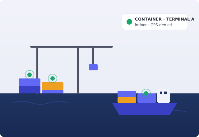
Locate and track containers, handling equipment and goods indoors and in GPS-denied areas, and see the whole operation on the map to cut dwell times and losses.
- Asset Tracking
- Positioning
- Map Rendering
Routing and navigation for commercial vehicles
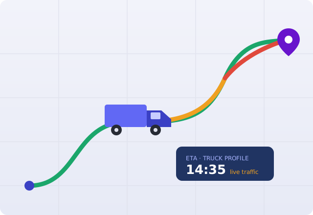
Reliable ETAs with real-time traffic, truck profiles and precise positioning to operate safely and meet deadlines.
- Routing
- WeGo Pro
- Map Rendering
- Positioning
From fleet planning to the SLA
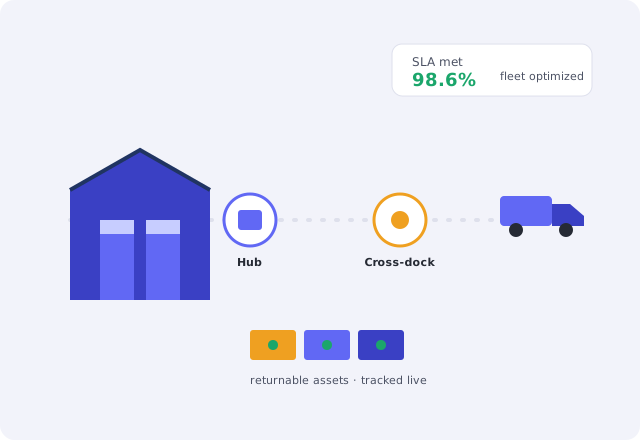
Plan and optimize your fleet activity end to end, with visibility of the supply chain and your returnable assets to reduce costs and meet SLAs.
- Fleet Optimization Package
- Tour Planning
- Asset Tracking
- Geocoding & Search
Deliver more and better
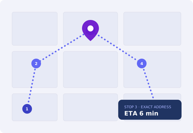
Sequence stops optimally, reach the exact address and give your customer a real-time ETA, with professional navigation for the driver.
- Tour Planning
- WeGo Pro
- Routing
- Geocoding & Search
Why geograma
Experts in Geographic Intelligence, not in running your operation
Specialists in Geographic Intelligence
A NavPro company. Since 1998 we have captured, processed and integrated geoinformation and developed tailored GIS.
We prescribe and integrate the data
We prescribe, integrate, develop and operate HERE's data and services within your operation. The decision is always yours.
From data to your systems
We don't just hand you the data: we integrate it with your TMS/ERP and applications so it works from day one.
We don't compete with your providers: we equip them. geograma does not replace your logistics operator, your mobility consultancy or your software provider. Logistics and transport engineering firms, consultancies and integrators are our clients, never our competitors — like EasyTech, which builds its logistics software on our SDK and Location Services.
What we integrate
Location applications and services, ready to operate
Applications and APIs built on HERE technology that geograma integrates and deploys on top of your operation.
Logistics Applications Applications
Tour Planning
Route optimizationMulti-vehicle, multi-stop delivery with time windows, capacity, driver qualification and real-time traffic. Re-plans on the fly.
Asset Tracking
Asset visibilityReal-time location and status of pallets, containers, cages and equipment, indoors and outdoors, combining GNSS, cellular, Wi-Fi and BLE, with ERP/TMS integration.
Fleet Optimization Package
Fleet managementAll-in-one cloud solution with Geocoding, Tour Planning, truck Routing and Map Rendering. Plan and optimize delivery with AI, per vehicle subscription.
WeGo Pro
In-cab navigationTurns centrally planned routes into turn-by-turn guidance for the professional driver, with truck restrictions, real-time traffic and offline mode.
Location Services APIs & components
Routing
Advanced routingAccurate ETAs with real-time traffic, car, truck and EV profiles, physical and legal restrictions and origin-destination matrices up to 10,000×10,000.
Geocoding & Search
Exact addressesPrecisely locate addresses, coordinates and POIs, with autosuggest and reverse geocoding, even for complex addresses.
Map Rendering
Logistics mapsHighly customizable map visualization with a "Logistics" style and truck attributes (tolls, restrictions, transport POIs), in real time.
Positioning
High precisionCombines GNSS, cellular and Wi-Fi to locate devices and assets indoors and outdoors, with up to sub-metre precision and an on-premise option.
Transit
Multimodal mobilityPublic and intermodal transport with real-time schedules in more than 1,200 cities and door-to-door pedestrian routing.
SDK
iOS · Android · FlutterEmbed maps, routes, navigation and location services at global scale into your apps, online and offline.
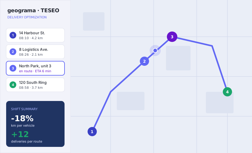
TESEO: urban delivery optimized with machine learning
TESEO is a product built to optimize delivery routes in urban centres. On «the last mile» the distances are short, but the difficulties are big: heavy traffic, a lack of loading and unloading space, and a growing demand for online shopping and parcel delivery to individuals.
With TESEO we apply artificial-intelligence techniques and machine-learning algorithms to learn from our drivers, distribute delivery zones efficiently and improve the delivery process.
- Optimal stop sequencing per shift and vehicle.
- Live ETAs for the driver and for your customer.
- Integration with your TMS/ERP and existing applications.
- Rollout supported by our GIS team.
Transport, logistics and mobility companies that trust geograma
Transportes El Mosca and Mosca Marítimo, road and maritime transport operators at national and international scale, part of the Logista group.
Vertiport infrastructure for eVTOL operations and the new generation of urban air mobility.
Builds its logistics software on our SDK and Location Services. An integrator we equip, not a competitor.
Technology partner
HERE technology, prescribed and integrated by geograma
geograma integrates HERE's location data and services — one of the world's leading providers of map and location data — into tailored GIS solutions. We don't resell data: we prescribe, integrate and operate it on top of your operation, so you can measure, justify and defend every decision.
Capabilities and figures according to HERE product datasheets.
Frequently asked questions
What you usually ask us
Do I need a technical team to use HERE technology?
Does it integrate with my TMS or ERP?
Does it handle truck routes with restrictions?
Can I start with a pilot?
What sets HERE apart from other options?
Ready to move your logistics with precision?
Tell us your challenge and we'll show you how to optimize your routes, your fleet and the traceability of your goods.