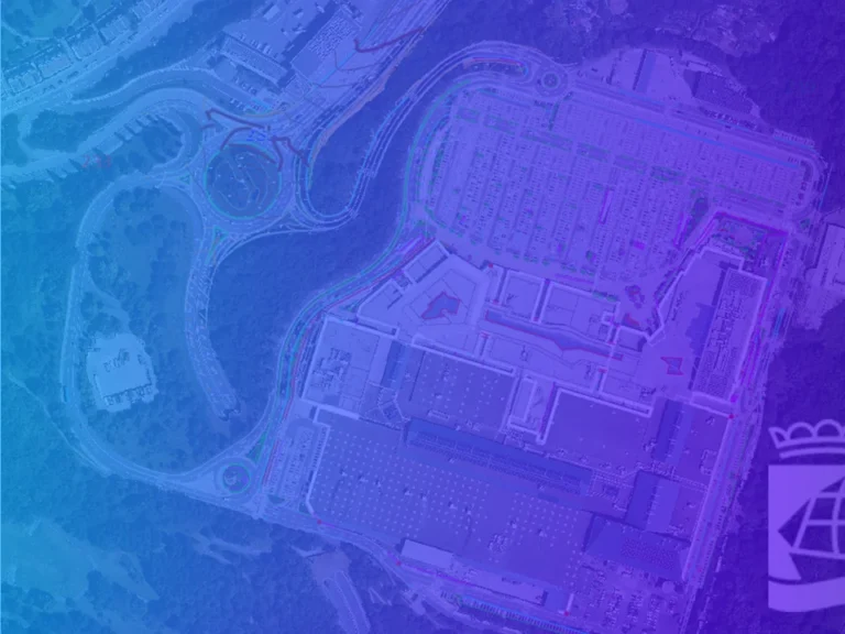
Inventory and Mapping
Specialized services in the characterization of the Territory
Surveying, base mapping, asset inventories, thematic maps, geodatabases, 3D scanning and modeling
We perform primary capture of geo-referenced data (with ground survey, scanner, Mobile Mapping, drone and photogrammetric flights), edit and model to draw CAD plans, build municipal base maps and GIS databases, make asset inventories and 3D and BIM models, in order to improve asset management and the design and project of changes in the territory and inside facilities.
Inventories
We carry out geo-referenced inventories of urban, rural and road assets, infrastructures and service networks above and below ground. It includes the identification, location, categorization and codification of each asset, generating structured databases that allow their integration into management systems (GIS, CMMS and Smart City platforms).
More information
At Geograma we prepare georeferenced inventories of assets, networks and infrastructures, both above and below ground, in urban, rural and road environments. These inventories are essential to improve the planning, maintenance and management of public services from a technical, operational and economic perspective.
We follow a comprehensive methodology that combines Mobile Mapping, 3D scanning and on-the-ground field work, ensuring the complete capture of surface and subway elements, their precise positioning and the characterization of all their attributes. This approach allows us to generate structured databases, compatible with GIS, CMMS or Smart City platforms.
Our inventories comply with the principles of the UNE 178303 standard, oriented to the certification of City Asset Management Systems. This provides quality assurance, interoperability and sustainability over time.
In addition, we implement periodic or campaign-based updating processes, ensuring that the information remains current and useful for decision making. We also audit previous inventories carried out by third parties, validating their accuracy and completeness.
Thematic maps
We produce thematic maps built from ETL processes that integrate data from different sources: cartographic, urban, environmental, social and technical, in a structured GIS environment.
More information
We design and maintain geographic databases adapted to the client’s needs, facilitating their visualization, analysis and exploitation through cartographic tools, web viewers or GIS applications.
These thematic maps and geographic databases are especially useful for planning support, impact studies, land use planning or urban diagnosis.
Topography
We offer comprehensive surveying services, combining traditional field work with drone flights.
More information
We capture georeferenced data using GNSS, total stations, aerial photogrammetry and LiDAR sensors, which we then transform into topographic plans and 3D digital models.
Our services allow you to draw detailed CAD plans, establish topographic control points and generate base information for urban planning, civil engineering, architecture and public works projects.
Scanning and Modeling
We use terrestrial scanning and Mobile Mapping technologies to capture urban environments, facility interiors and linear infrastructure with great detail and speed.
More information
These systems generate 3D point clouds and high-resolution 360 images, from which we develop 3D models, BIM models, blueprints and georeferenced asset inventories.
At Geograma we apply laser scanning and Mobile Mapping to capture urban, industrial and infrastructure environments with great precision, both indoors and outdoors. This massive capture generates 3D point clouds and 360 georeferenced images, the basis for digital models that allow us to work with total reliability on the current state of a space or facility.
From this information, we generate 2D CAD drawings, 3D models and BIM models, applicable in architecture (rehabilitation, renovation, as-built documentation), industry (dimensional control, interferences, assembly simulation) and infrastructure (roads, ports, airports).
The process includes scanning, data cleaning and logging, modeling, technical documentation and, when necessary, simulations and interference analysis.
Our models are accurate, updatable and compatible with CAD, GIS or BIM workflows. This makes it possible to plan architectural renovations on a reliable basis, to anticipate interferences in production lines or to plan plant expansions without the need for physical assembly (blank assembly), and all without interrupting the operation of the scanned environments.
The information generated helps to improve efficiency, reduce costs and increase safety in design, construction, maintenance or expansion projects. With a single data acquisition, we offer a complete and detailed view of the environment, facilitating technical decisions with a real, updated and verifiable geometric basis.
Base cartography
We carry out municipal base cartography through photogrammetric restitution processes, topographic surveys, LiDAR processing and cartographic editing. We generate structured, global, optimized, geo-referenced, accurate base cartography with a maintenance plan for its updating.
More information
At Geograma we develop structured, accurate and maintainable municipal base cartography, combining the integration of existing sources with topographic survey techniques, photogrammetric restitution and LiDAR. The result is a continuous and georeferenced cartography that covers the entire municipality and acts as official technical support for land management.
We generate a single standardized CAD drawing with layers organized by thematic families (building, road, urban services, street map) following a data model tested in numerous municipalities. This cartography is prepared for multiple uses: from urban planning and asset inventories, to mobility, risk management, urban projects or integration in GIS systems and Smart City platforms.
The process includes the unification and georeferencing of the information, its adaptation to official systems (ETRS89 and REDNAP08), its loading into GIS systems together with thematic data from third parties (planning, flooding, environment, etc.), and the implementation of a structured management and maintenance system that allows traceability and updating.
Quality municipal base cartography guarantees technical and legal security, interoperability with other sources and efficiency in municipal projects. At Geograma we ensure its maintenance over time, updating modified areas with new surveys and complying with current regulations.
CONTACT WITH US
If you want to have some of our services contact us and we will advise you to give you the best solution.
What are we experts in?
Projects in Inventory and Mapping
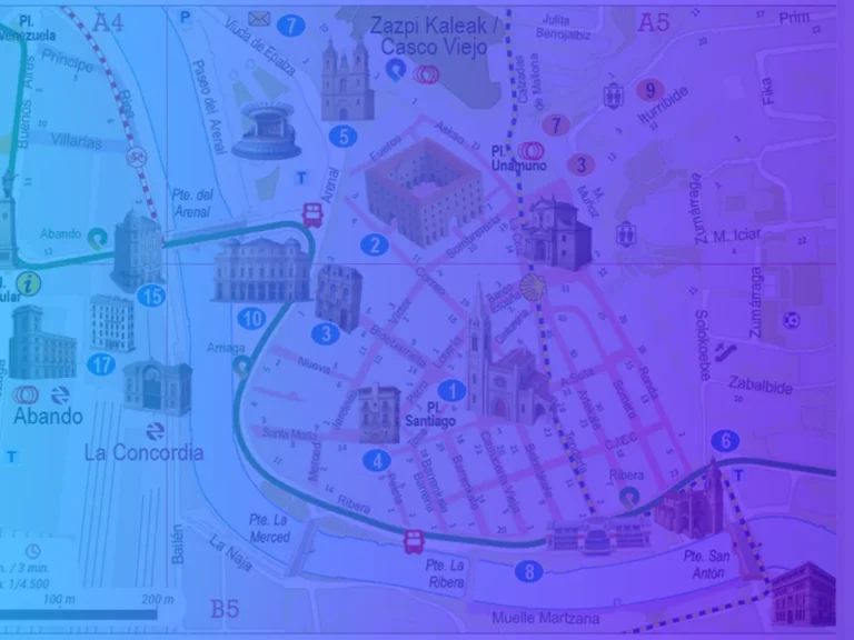
Bilbao’s new tourist map: cartography, design and usability at the service of visitors
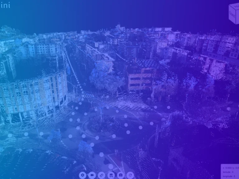
GeoCassini for the Provincial Council of Gipuzkoa: Ensuring Continuity, Publication and Use of 3D Territorial Data
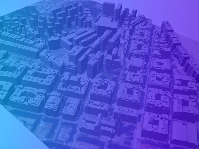
Pilot Project for the Generation and Publication of 3D Buildings in Donostia / San Sebastián
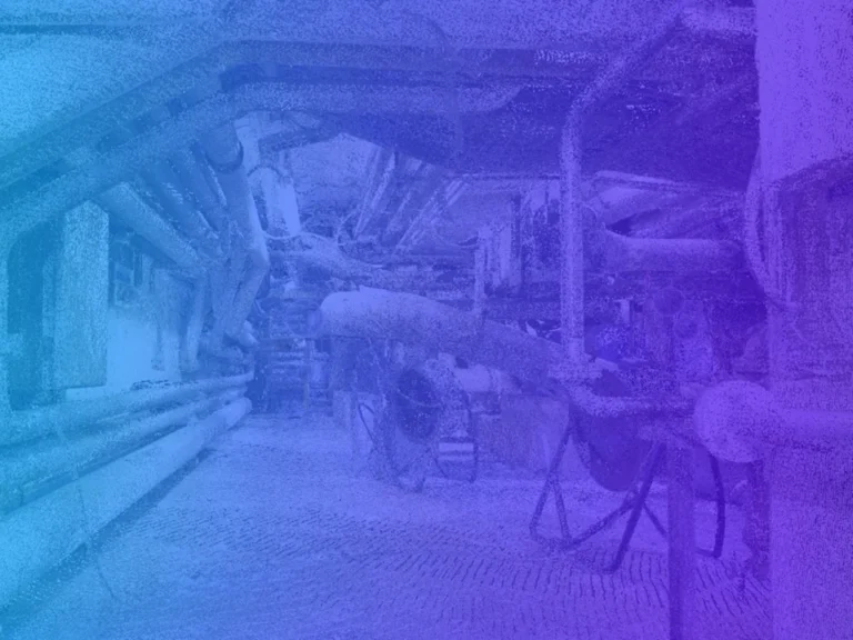
3D Laser Scanning and Modelling for Plant Upgrades in the Paper Industry
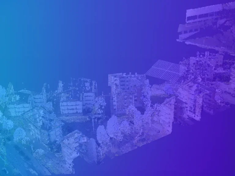
3D Capture and Modelling of an Underground Stream in Aretxabaleta