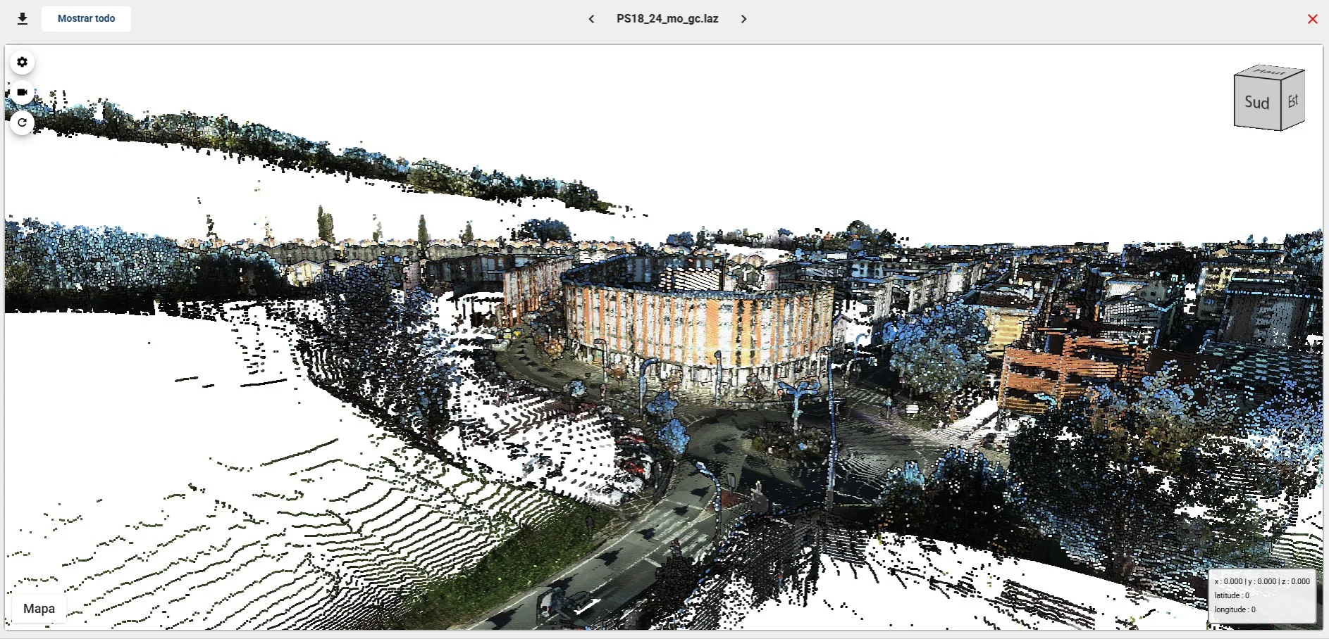
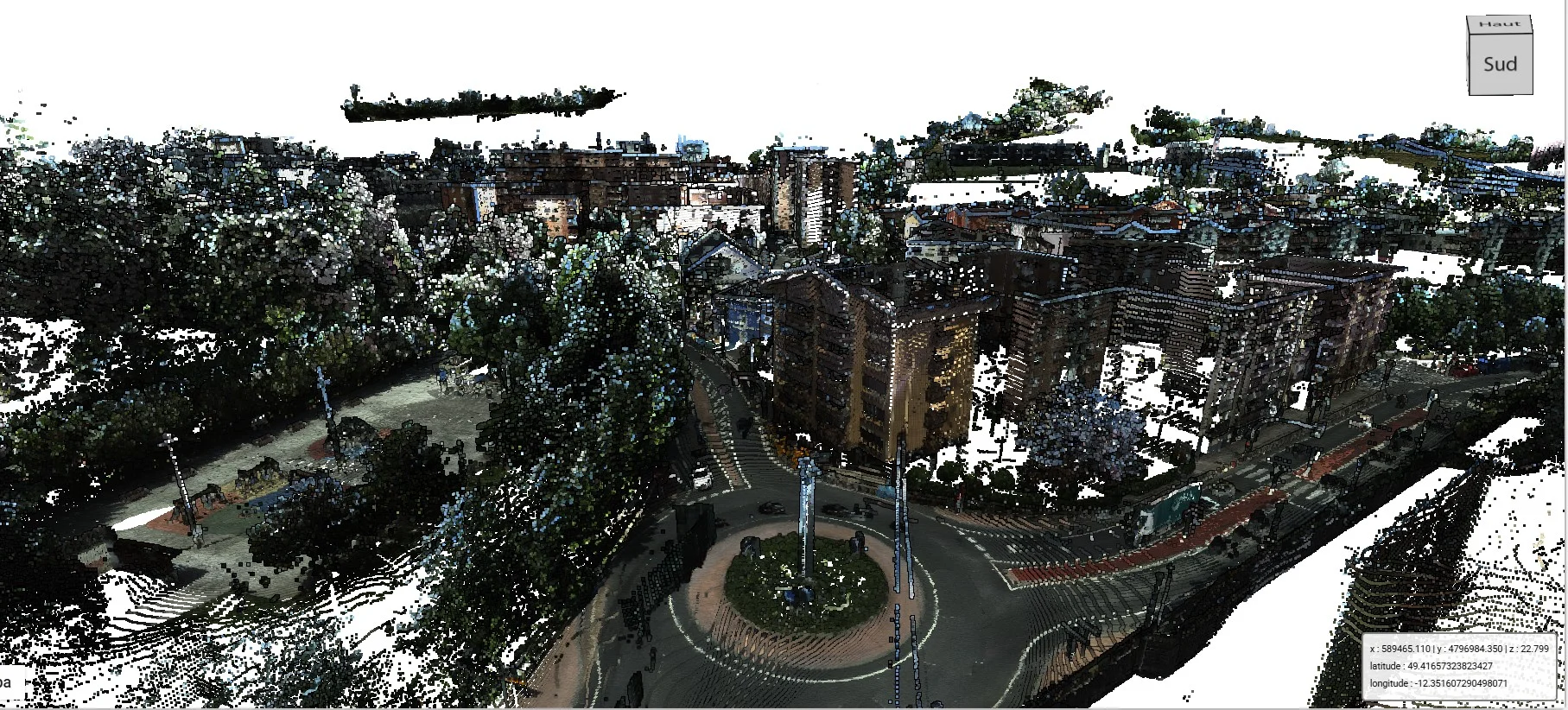
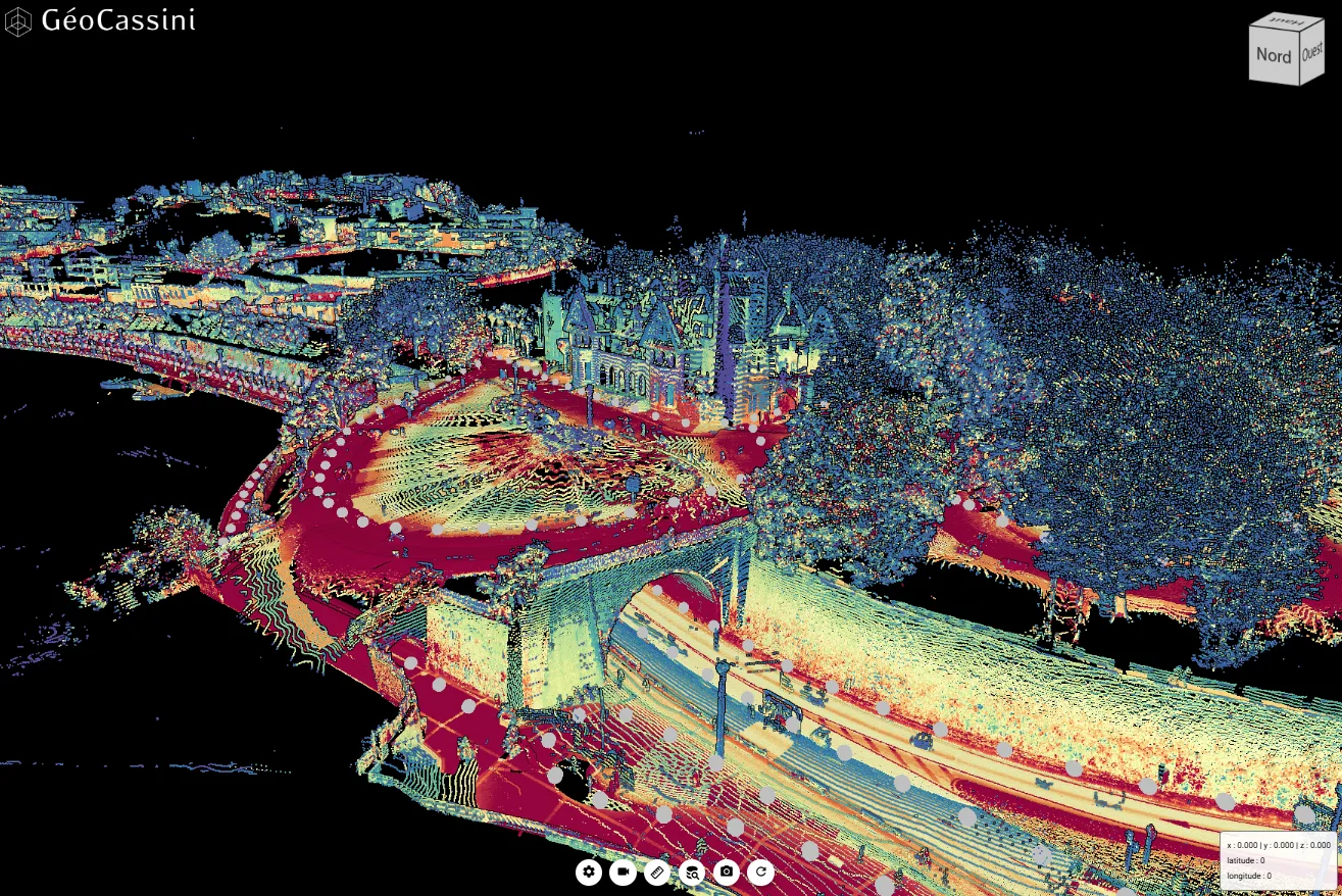
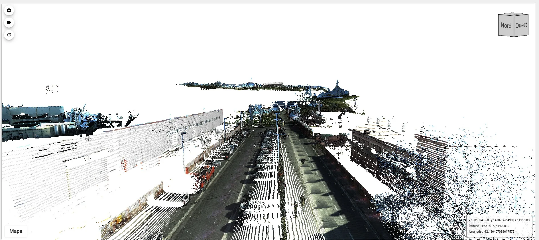
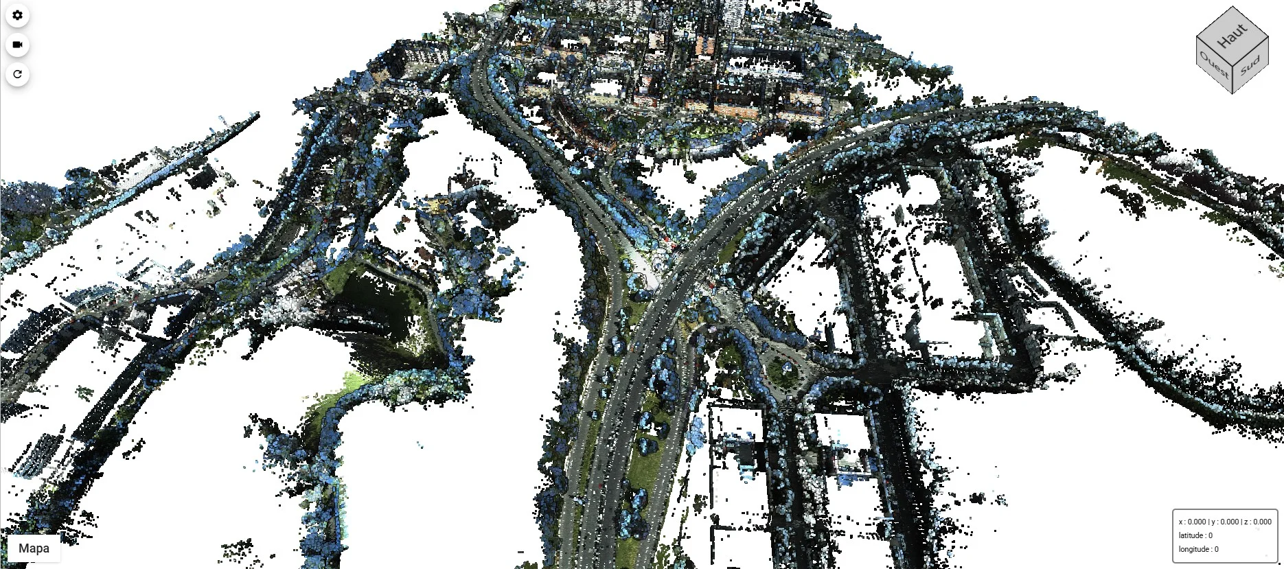
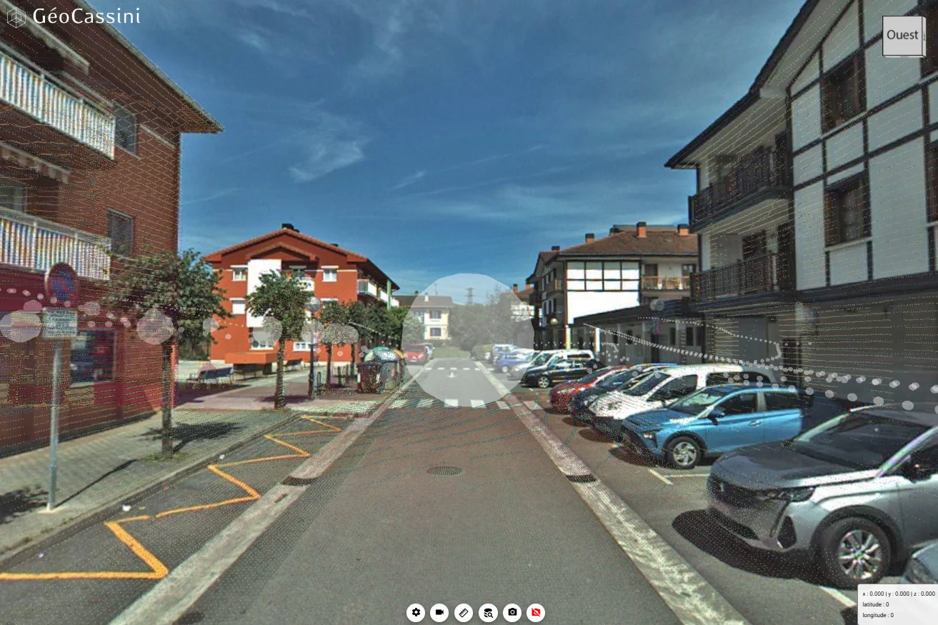
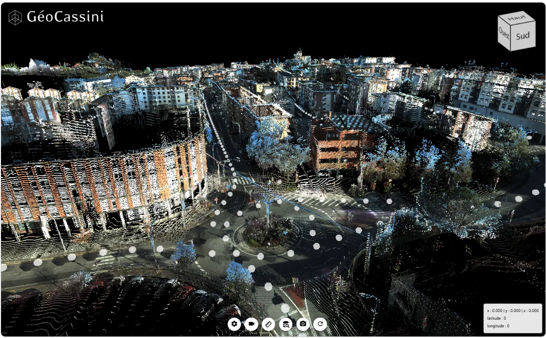
The Provincial Council of Gipuzkoa manages high-value 3D geospatial information generated from Mobile Mapping surveys, point clouds and 360° panoramic imagery. This type of information enables users to inspect, measure, analyse and share the territory remotely, reducing field visits and supporting better-informed decision-making.
To ensure the continuity of this working model, the Provincial Council renewed its GeoCassini subscription, Geograma’s SaaS web platform for storing, visualising, sharing, digitising and exchanging georeferenced 3D data. Alongside the renewal, Geograma provided specialised technical support to prepare and publish new territorial datasets.
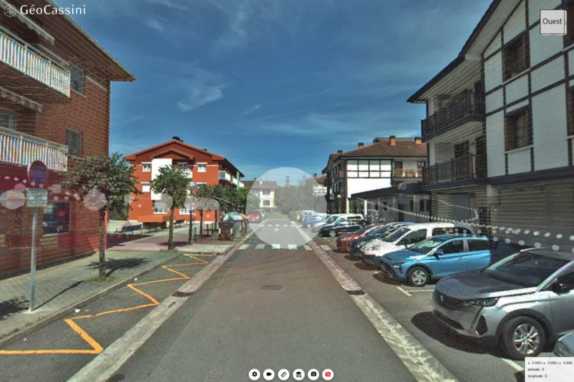
The main challenge was to provide a stable, accessible platform capable of managing large-scale 3D datasets without relying on complex local installations or specialised desktop software for every user.
In addition to renewing the subscription, the Provincial Council required technical support for the preparation, transformation, publication and quality control of several Mobile Mapping projects, specifically those covering Urnieta, Donostia / San Sebastián and Lezo, while also assessing BIM functionalities that could be incorporated into the platform. The Donostia project was particularly significant due to its size, with 143,923 panoramic images identified during the project analysis.
The renewal of GeoCassini and the technical support provided by Geograma have enabled us to continue managing and publishing 3D territorial information in an efficient, accessible and practical way for our daily technical work. We particularly value Geograma’s ability to support the entire process, from data preparation through to publication and web-based access.
Mikel Elorza
Provincial Council of Gipuzkoa
Department of Spatial Planning
Geograma delivered a comprehensive solution combining the renewal of the GeoCassini Expert Subscription with specialised technical services to ensure the effective use of the data.
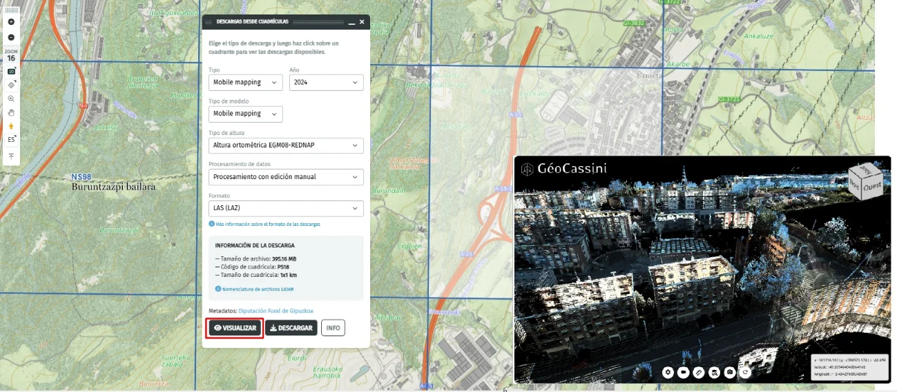
The solution included one Expert licence, 10 GeoPublic users, unlimited GeoFree users, online training, technical support and 3 TB of cloud storage. From a technical perspective, Geograma managed the collection and organisation of Mobile Mapping data, the preparation of LAS/LAZ point clouds, JPG imagery and CSV files, data transformation where required, generation of headers and orientation angles, grid-based clipping, and the final upload of datasets to GeoCassini/Open Data.
In addition, public links were generated and a final quality assurance process was carried out to verify data visualisation, navigation, georeferencing accuracy and the availability of the published information.
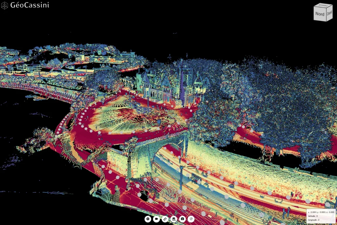
The project enabled the Provincial Council of Gipuzkoa to maintain a SaaS-based 3D platform for managing and publishing advanced territorial information, facilitating web access to large datasets while reducing dependence on complex desktop applications.
Key outcomes include:
Overall, the solution strengthens the Provincial Council’s ability to manage and exploit territorial 3D data, improves access to technical information and opens new opportunities for asset inventories, change detection, Open Data publication, remote inspections, and future BIM and Artificial Intelligence applications.