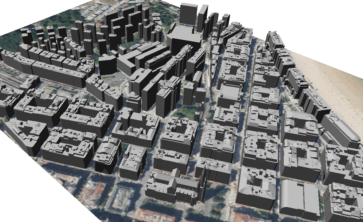
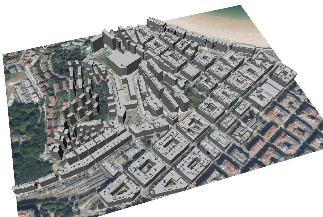
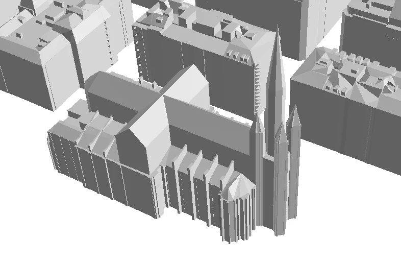
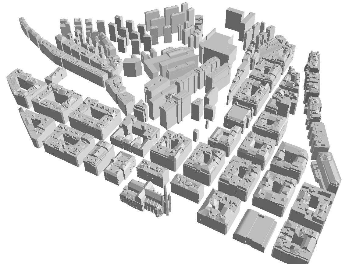
The City Council of Donostia / San Sebastián had been developing a strategy to advance the creation of 3D building models. Following a preliminary study carried out in 2024, which assessed the available data sources, achievable Levels of Detail (LOD) and modelling methodology, the City Council decided to move forward with the creation of a city-wide 3D building layer at LOD200.
In this context, Geograma developed a pilot project aimed at defining the most suitable methodology for generating and publishing 3D building models, validating both the technical approach and its feasibility for deployment across other areas of the city.
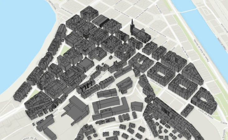
Before embarking on large-scale production, the project needed to address several key challenges. First, it was necessary to design a robust methodology capable of generating 3D building models consistently and efficiently. At the same time, the available source data had to be thoroughly analysed, cleaned and integrated into a single working environment.
In addition, the City Council sought to automate the workflow so that the generation of surfaces and solids could be scaled beyond the pilot phase. The final deliverable also needed to be structured in CityGML format, enabling publication, interoperability and future reuse.
The work carried out by Geograma has enabled us to validate an effective methodology for generating 3D building models and to obtain a valuable pilot that will help us move towards a more comprehensive 3D representation of Donostia / San Sebastián. We particularly appreciate Geograma’s technical expertise in structuring, automating and delivering this process through a practical and scalable approach.
Ibon Ramos Basterretxea
City Council of Donostia / San Sebastián
ibon_ramos@donostia.eus
Geograma approached the project through four main workstreams.
First, it defined the most appropriate methodology for the large-scale generation of 3D building models.
Second, it analysed the available source information, including filtering, cleaning and integrating the relevant 3D cartographic layers and features, while correcting errors detected in the existing mapping through photogrammetric restitution.
Next, Geograma developed automated workflows using a Spatial ETL process to support the large-scale generation of surfaces and solids, significantly reducing manual intervention and establishing the foundations for a repeatable and scalable production workflow.
Finally, the project was delivered as a CityGML dataset containing the 3D representation of the buildings within the pilot area.
The project relied on Spatial ETL, AutoCAD Map and the Digi3D photogrammetric workstation, combining cartographic processing, workflow automation and 3D modelling.
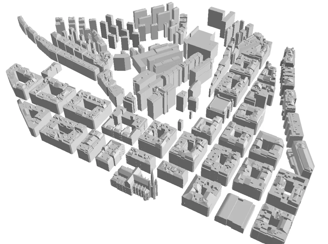
The project delivered two key outcomes.
Firstly, the City Council of Donostia / San Sebastián obtained a 3D representation of the pilot area, with buildings modelled at LOD200.
Secondly, it gained a validated methodology that can be extended to the rest of the city.
Beyond the specific deliverable, the project’s greatest value lies in transforming an initial feasibility study into a real operational pilot, validating the technical workflow required to build a future city-wide 3D building layer. This provides the City Council with a solid foundation for future applications in urban planning, territorial management and advanced city visualisation.