Orloga S.A. is an engineering company specialising in the paper industry, with extensive experience in the design, manufacture and installation of industrial solutions. As part of several plant upgrade and improvement projects, the company required accurate and up-to-date geometric information for critical areas within its facilities in Lleida, Burgos and Tudela.
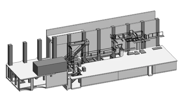
To meet this need, Geograma carried out three independent projects based on 3D laser scanning and 3D modelling, delivering highly accurate digital representations of the industrial facilities and enabling the efficient planning of future engineering interventions.
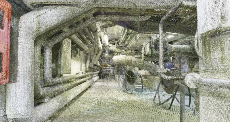
The facilities shared a common challenge: the lack of reliable and up-to-date geometric information on existing machinery, piping, structures and industrial installations.
This made it difficult to:
In addition, the work had to be carried out in facilities characterised by:
The client required a solution capable of delivering precise, interoperable data that could be seamlessly integrated into its existing engineering workflows.
Working with Geograma has provided us with an accurate and reliable digital representation of our facilities, which is essential for planning industrial interventions with confidence. Their ability to operate in complex environments while minimising disruption to our daily operations and delivering information fully integrated with our engineering tools has added significant value to our projects.
Pablo Amunarriz
CEO, Orloga S.A.
Geograma designed a methodology based on high-precision 3D reality capture using laser scanning technology.
The work included:
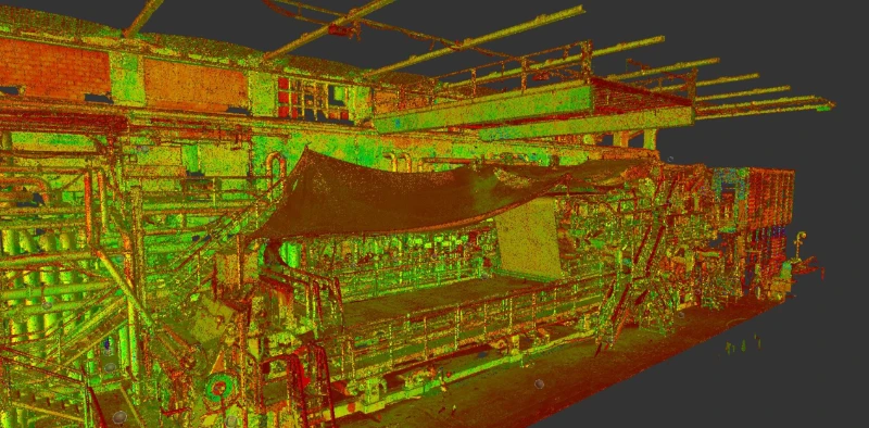
The data acquisition and processing workflow used technologies including:
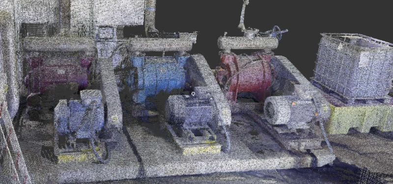
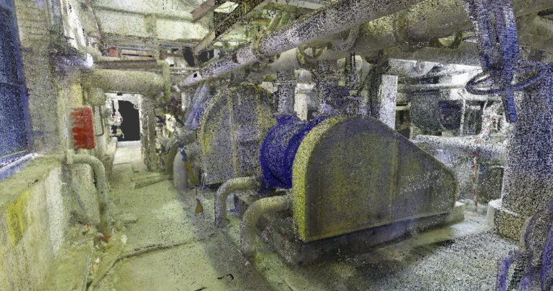
For the Burgos and Tudela projects, Geograma delivered point clouds in RCP format, fully prepared for use in Autodesk Inventor and other industrial design environments.
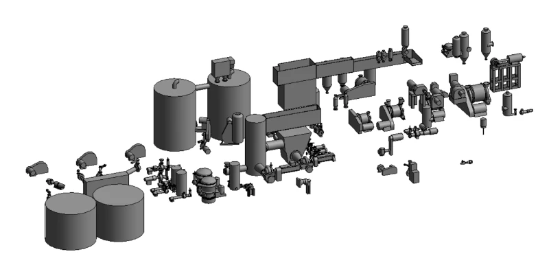
For the Lleida project, in addition to the laser scanning survey, Geograma produced a complete 3D STEP model of the captured industrial structures, tailored to the client’s specific engineering requirements.
The resulting datasets were also integrated into GeoCassini, enabling easy web-based visualisation and consultation.
Thanks to Geograma’s solution, Orloga obtained accurate and up-to-date 3D representations of the critical areas within its industrial facilities, enabling the company to:
Compatibility with Autodesk Inventor enabled the direct integration of the captured information into existing engineering workflows.
Furthermore, the adopted methodology allowed all surveys to be completed without interrupting production, minimising any impact on industrial operations.
Project Scale
Added Value for the Client