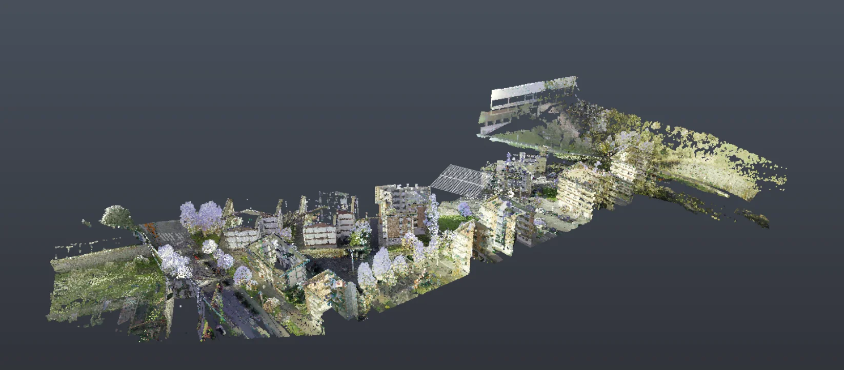
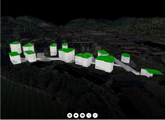
Geograma carried out a project for the City Council of Aretxabaleta involving the 3D capture, modelling and geometric analysis of an underground stream running beneath urban roads and buildings. The objective was to obtain an accurate understanding of this complex and difficult-to-access infrastructure, creating a reliable technical basis for its integration into the municipal mapping system and supporting future urban planning and asset management activities.
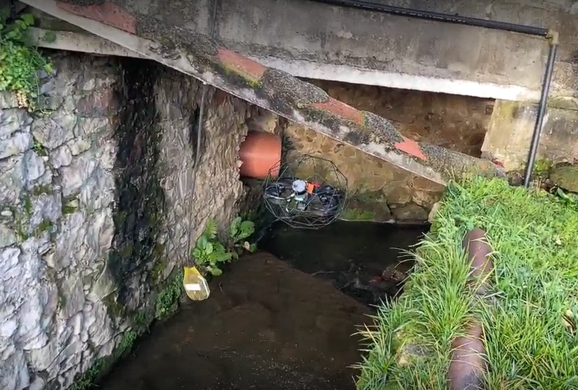
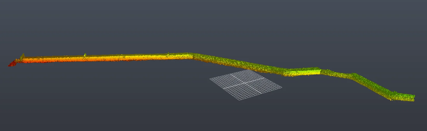
The main challenge was to accurately determine the stream’s actual alignment and capture its complete geometry—including the walls, floor and ceiling—within an underground environment with significant access constraints. Traditional surveying methods could not provide the required level of detail and accuracy due to the irregular geometry of the conduit and the difficulties associated with working below ground.
To address these challenges, Geograma designed a tailored 3D reality capture and modelling strategy specifically adapted to the characteristics of the infrastructure.
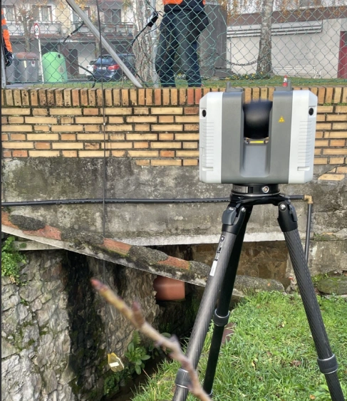
The project combined two complementary technologies:
Using both datasets, Geograma processed, registered and georeferenced the point clouds within the official coordinate reference system before generating a complete 3D model of both the underground stream and its surface alignment.
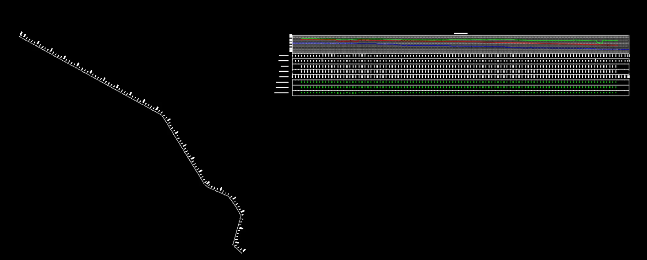
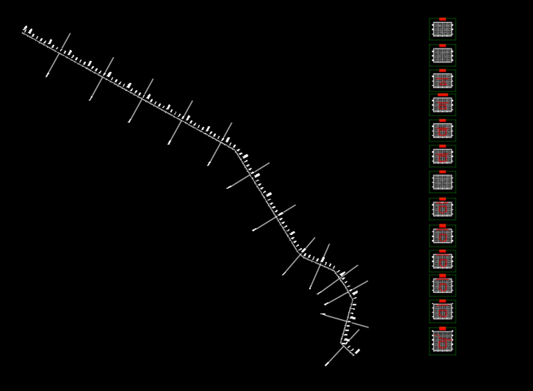
Based on this model, several high-value technical deliverables were produced, including the complete longitudinal profile and cross-sections every 20 metres, together with their direct integration into the municipality’s mapping database.
To complement these deliverables, Geograma also deployed a web-based visualisation environment through GeoCassini, enabling the client to access, inspect and analyse the infrastructure without requiring specialised desktop software.
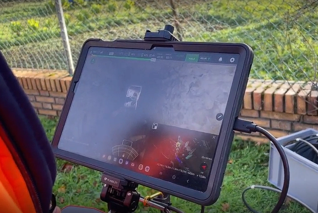
The project enabled the City Council to obtain a precise and usable geometric database of this underground infrastructure, with concrete results:
This work demonstrates how the combination of advanced capture technologies, 3D modeling, and web visualization allows for the transformation of complex and difficult-to-access infrastructure into useful information for public decision-making.