

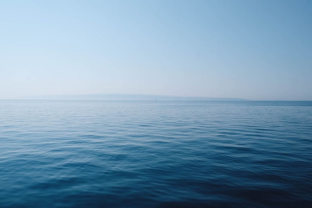
Often, when we think of geographic information, we overlook how fundamental the data from our seas and oceans are.. Organisations such as the Instituto Hidrográfico de la Marina (IHM) are constantly working to ensure that these are always optimal and useful. To achieve this, we have worked closely with them. We discuss all of this below.
For any environment and sector, good data management is essential to improve the usability of geographic information. In fact, tasks such as inventorying such data, classifying it, documenting it and making it easy for the user to find it are almost as important as capturing it.
The Instituto Hidrográfico de la Marina (IHM) is no exception, which is why it required the services of Geograma to improve the management and governance of your data. We tell you more about the relevance of this institution, its relationship with geolocated information and Geograma’s contribution to its operations.
The IHM and geographic data
Among the main objectives of this institution are to ensure the safety of navigation, the production of cartographic charts of the seas and to contribute to nautical science.
In fact, recently during a visit to its headquarters, the Minister of Defence, Margarita Robles, stated that:
“Thanks to the immense and professional cartographic and other work carried out here, a vital objective is achieved for Spain and the world, the safety of navigation, so important in difficult times such as these, thereby contributing to strengthening security and peace in navigation and the seas.
The IHM came into being in 1943 because of the need for an institution to coordinate hydrographic work and cartographic production.
Among its main tasks, they are found in Law 7/1986, which regulates the cartographic production of the State, and are:
- Formation and conservation of the basic nautical cartography, as well as of the official documentation of obligatory use for the navigator, according to the guidelines of the International Hydrographic Organisation (IHO).
- Conduct hydrographic surveys, oceanographic work and underwater relief studies of the national coasts and maritime areas.
- Produce nautical charts, books and navigational aids.
- Provide warnings to mariners and study tides, currents and water temperatures.
- Military nautical cartography and support to the Naval Force.
- Coordinate radio warnings for long-range navigation in the Mediterranean and Black Seas.
- Advise the Naval Force Command on environmental conditions for operations and exercises.
How does the HMI capture geographic data and what role does Geograma play in its management?
To carry out all its operations, the IHM has a Hydrographic Flotilla of 6 vessels that allows it to directly capture the data necessary to produce nautical cartography.
But, as we have already mentioned, just as important as the collection of this data is its correct administration. This is where Geograma entra on stage.
Thanks to our work, these nautical data governance tasks, in addition to improving usability, have also facilitated the maintenance of geographic information. This is because it homogenises the language used between the parties involved in such data maintenance and helps to define the roles and responsibilities of each of them.
Geograma is proud to contribute to this by optimising the activities of one of the world’s leading companies in this field. The most important public institutions in the country based on geo-localised data. Stay tuned for more news like this.