
Sectors · Industry
Plan changes to your plant without surprises.
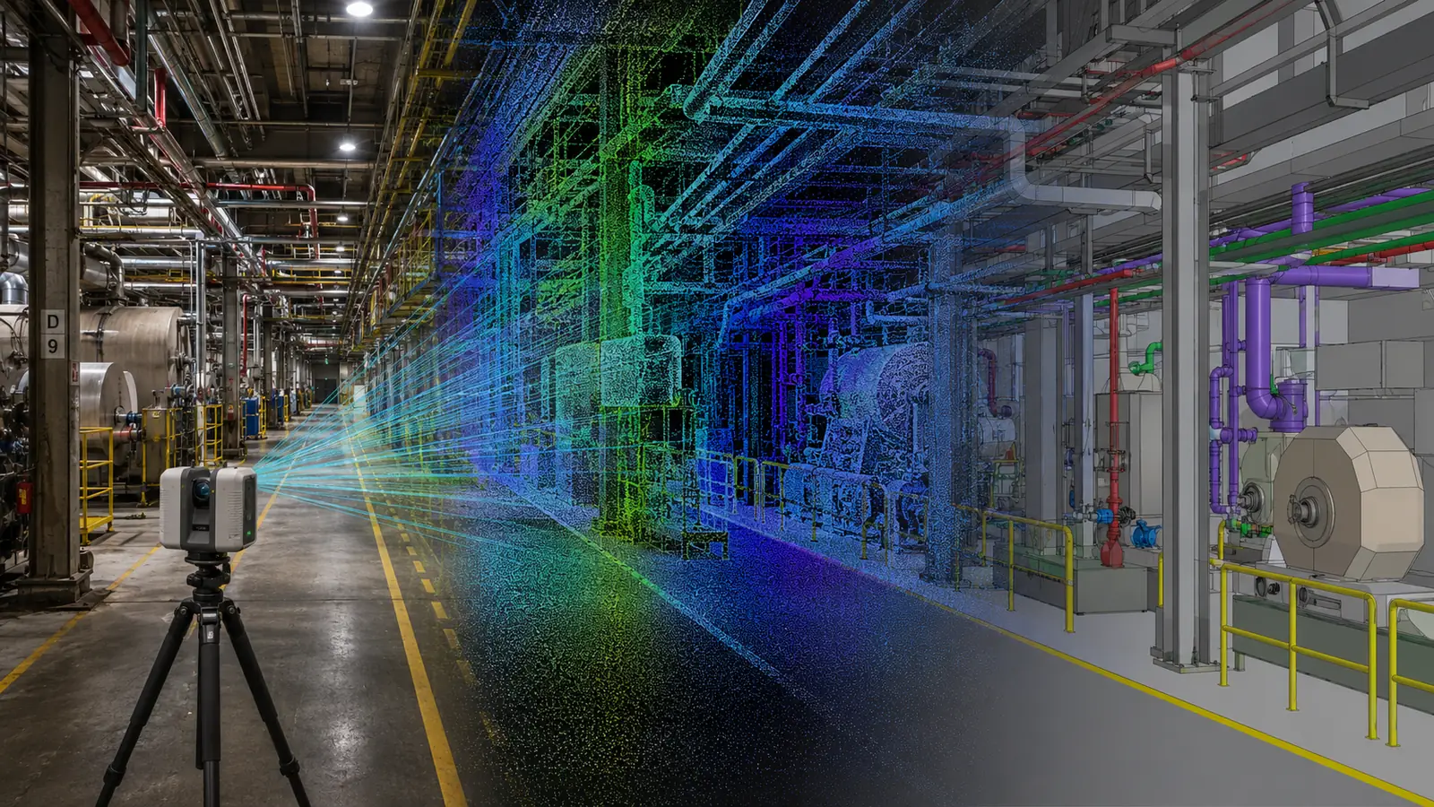
We digitalize your facilities with 3D laser scanning and build the digital twin of your factory: updated drawings, a reliable geometric model and dimensional control of what you manufacture, integrated into your engineering tools. We give you the data so you can design, measure and justify every decision.
The challenge
A factory never stops changing, and its drawings are rarely up to date
An industrial facility is modified constantly to improve productivity: a warehouse is extended, a line is lengthened, a higher-performance machine is brought in. And every change needs a design that accounts for the real dimensions of the space.
The problem is that often no drawings of the facility exist, and when they do they are out of date. That uncertainty is expensive: a machine is designed and built, and it collides with a pipe or an overhead beam, with all the costly rework that implies.
In the Industry 4.0 paradigm, data —including geographic and spatial data— takes the lead. Accurately digitalizing the current state of the plant is the basis for designing with confidence.
Why Geograma
The company that specialises in Geographic Intelligence
We capture, process and manage geoinformation, and we develop and integrate GIS. We have been doing it for more than 25 years. We are a NavPro company.
High-precision reality capture
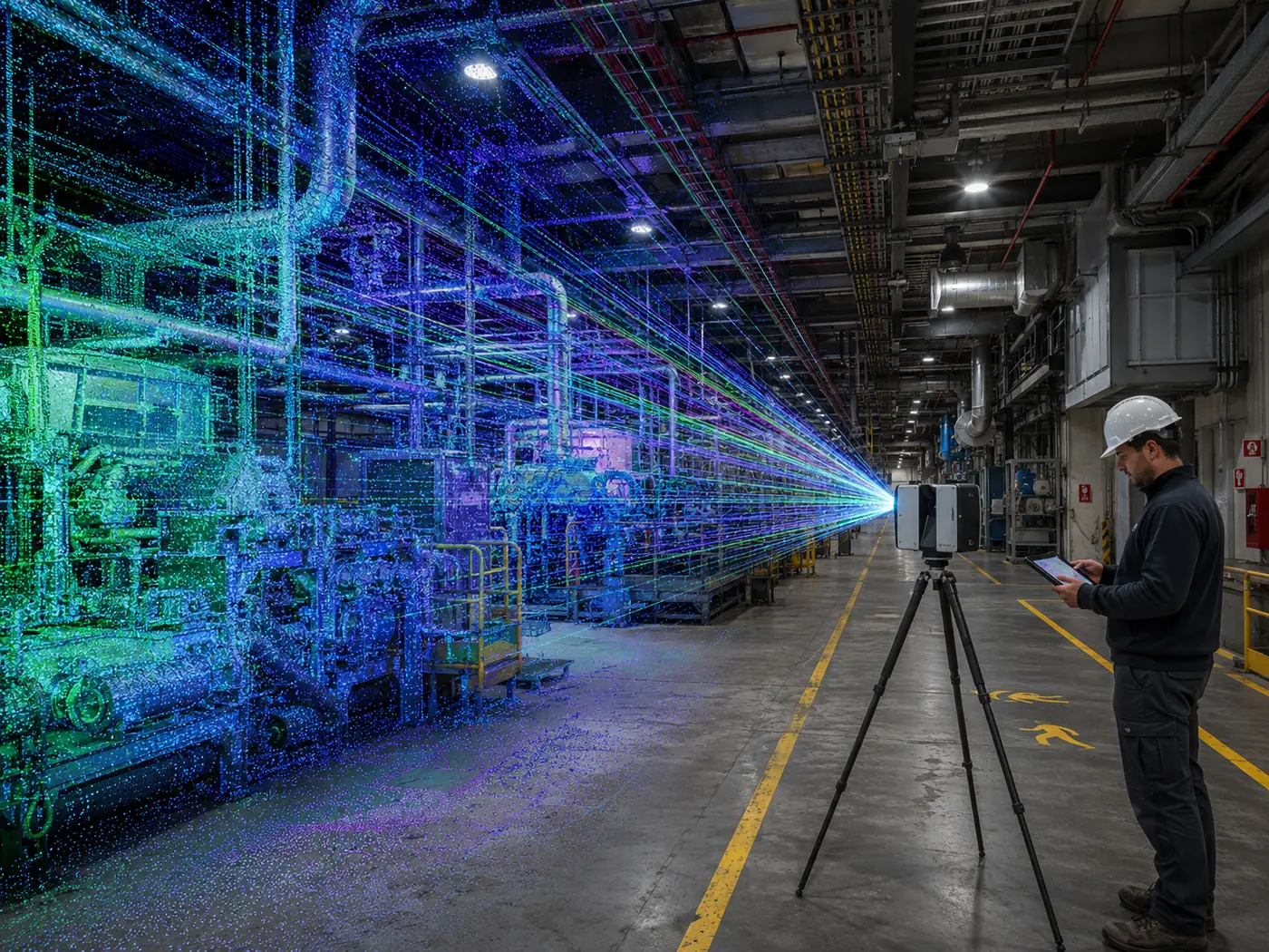
Static 3D laser scanning where millimetre accuracy is required, and dynamic capture where speed matters across large spaces. We define the level of detail, the tolerances and the measurement conditions beforehand.
Real interoperability
We deliver in the formats your engineering team uses —E57, LAS/LAZ, CAD, STEP, IGS/IGES, IFC and DGN— and we integrate the information into your systems through ETL processes.
No downtime for your production
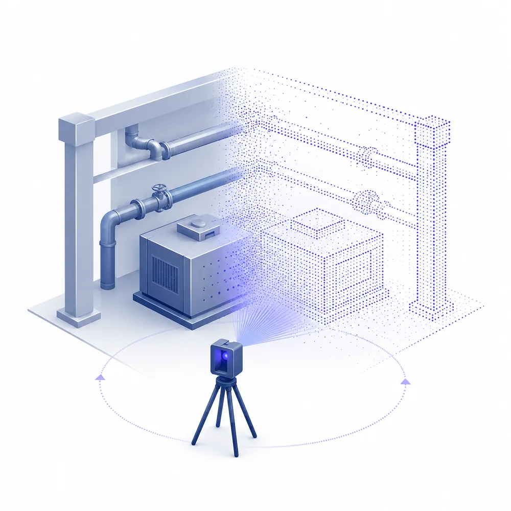
We measure without contact and without stopping the line. A full facility is usually digitalized in around 24 hours, removing the errors of manual measurement and repeated site visits.
Geograma does not do industrial engineering or consultancy. Engineering and consultancy firms are our clients, never our competitors: we specify, capture, integrate and operate the geometric data; the design and the decision are theirs.
What we offer
What we do for your plant
Three services built on one foundation: the real geometry of your facilities, measured accurately.
3D digitalization of facilities
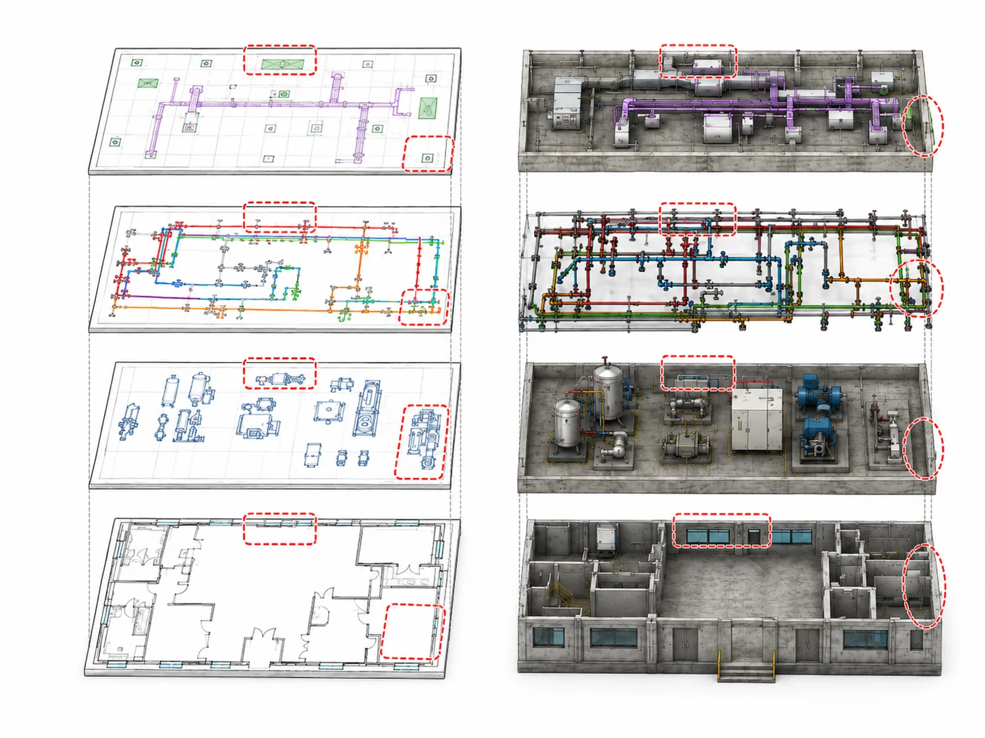
Using 3D laser scanning, point clouds and 360º imagery we measure the space occupied by machines, the routing and height of pipes, and the position of columns and partitions.
- Updated plant layouts and new CAD drawings: cuts, sections and elevations
- As-is modelling as a reliable basis for your engineering
- Non-contact capture, with no production downtime
The digital twin of your plant
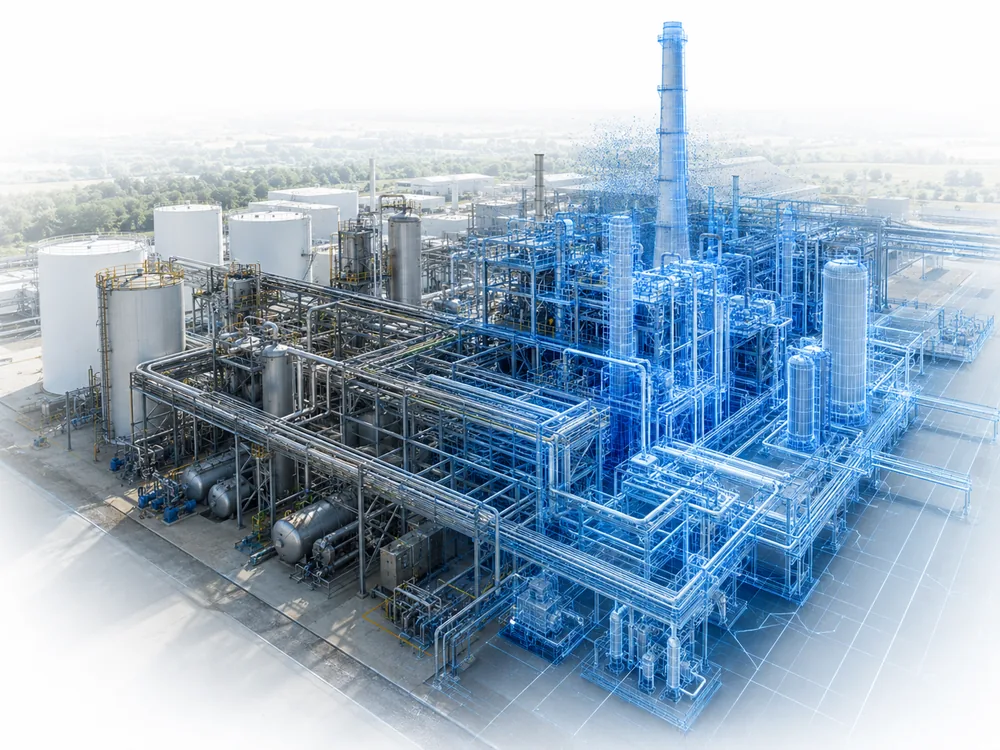
The person using the model is not an architect: it is the plant manager, the innovation team or the engineering firm. So we do not apply a building's BIM methodology, but deliver a functional, accurate 3D model referenced internally, with no need for topographic georeferencing. What matters is that machine A sits within millimetres of machine B.
- Design of refurbishments, extensions and integration of new installations
- Clash detection, measurements and verifications
- Inventory of systems and components: age, materials, temperature where sensors exist
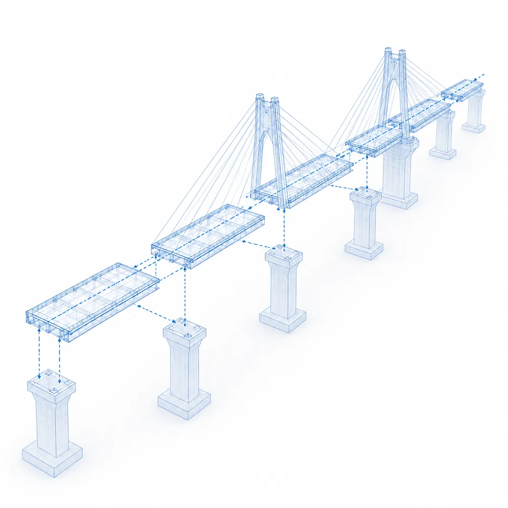
Dimensional control and virtual assembly
When parts or large structures are manufactured, 3D measurement lets you compare them with the theoretical model or the mould and obtain a deviation map.
- Verification that tolerances are met
- Definition of the machining strategy
- Virtual trial assembly before moving the structure to its final site
The platform
Consult the model where your team works
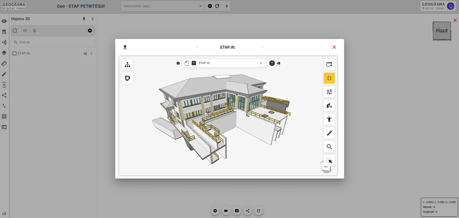
We integrate the captured information into GeoCassini for viewing and consultation, or directly into your usual engineering tools.
- 3D model and point cloud, navigable from the browser
- Asset tree: systems, components and their technical record
- Measurements and checks without setting foot in the plant again
- Technical documentation always linked to the real element
Missions
What the data is used for, once captured
Operations and maintenance
Asset management, up-to-date technical documentation and fewer unnecessary site visits. The team checks the real state of the facility from their desk.
Planning and investment
A reliable preview of any change before buying equipment or reorganising space: refurbishments, extensions, integration of new lines and clash detection.
Quality and manufacturing
Tolerance checks against the theoretical model, machining strategy and virtual trial assembly of large structures before transport.
Who it is for
Who we work with
Real case
Orloga S.A.: three paper mills digitalized without stopping production
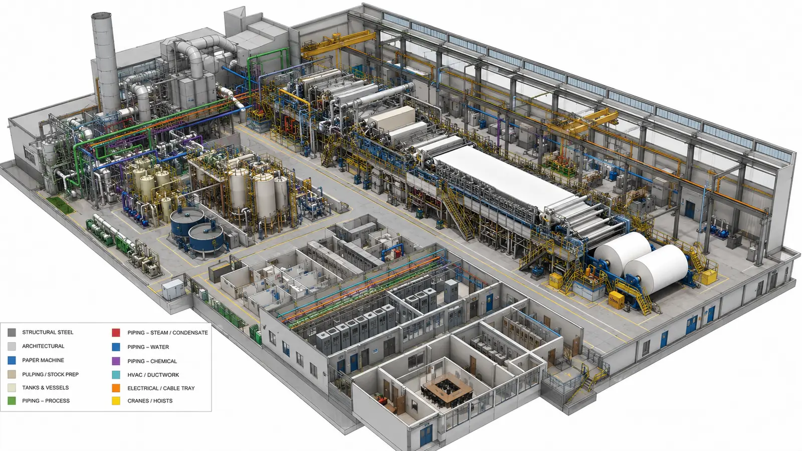
Orloga S.A., an engineering firm specialising in the paper sector, needed accurate, up-to-date geometric information on critical areas of its plants in Lleida, Burgos and Tudela in order to plan improvements, design new installations and detect interferences. All of it in environments densely packed with elements, with restricted access and no possibility of stopping production.
Geograma solved the challenge with massive reality capture through high-precision 3D laser scanning: route planning, scanning from multiple positions and heights, colour panoramic imagery, registration and alignment of point clouds, and deliverables prepared for 3D CAD. In Burgos and Tudela we delivered RCP point clouds for Autodesk Inventor; in Lleida we also delivered a complete 3D model in STEP.
The result was an accurate, up-to-date 3D representation that allowed the client to plan with confidence, reduce risks and interferences and optimise the design, with direct interoperability with their engineering tools and no production downtime.
"Working with Geograma has given us an accurate and reliable digital representation of our facilities, essential for planning interventions with confidence. Their ability to work in complex environments, minimising the impact on day-to-day operations and delivering information fully integrated with our engineering tools, has been a significant added value." Pablo Amunarriz, CEO of Orloga S.A. · Translated from the original Spanish
Technology and deliverables
Top-tier equipment, professional workflows
Accuracy is matched to each need and to the most suitable capture method. In every case we define the level of detail, the tolerances and the measurement conditions beforehand, so the deliverable is reliable and useful for engineering.
Capture
- Leica RTC360 and BLK360 static 3D laser scanners for facilities, parts and structures requiring high accuracy (1–3 mm)
- Dynamic scanning for large spaces where capture speed matters (1–3 cm)
- Colour panoramic imagery and capture at multiple heights
Registration and modelling
- Cyclone REGISTER 360+ for point cloud registration and alignment
- Autodesk ReCap, Revit and AutoCAD Map for modelling and documentation
- Comparison against the theoretical model or mould for dimensional control
Deliverables
- Point clouds in RCP, E57, LAS and LAZ
- CAD drawings: layouts, cuts, sections and elevations
- 3D models in STEP, IGS/IGES, DGN and IFC; BIM models in RVT where the project requires it
Compatibility
- MicroStation, Tekla, CATIA, SolidWorks, Solid Edge, CAM, NX and Autodesk Inventor
- Integration into GeoCassini for consultation and visualisation
- Integration into your systems through ETL processes
Leica Geosystems, Autodesk and the other brands mentioned are the property of their respective owners. Geograma specifies, integrates and operates these technologies; mentioning them implies no partner agreement or co-branding.
Frequently asked questions
What clients usually ask us
Can you scan without stopping production?
Yes. 3D measurement is non-contact and does not interfere with activity; we digitalize the facility fully and quickly, usually in around 24 hours.
What accuracy do you achieve?
It depends on the environment, the scope of the work and the final use of the data. As a reference, we work with accuracies of around 1–3 mm on infrastructure, parts or industrial elements that require high precision, and 1–3 cm with dynamic methods for large environments where faster capture matters. In each case we define the target accuracy and the most suitable capture method beforehand.
In which formats do you deliver the information?
Point clouds (RCP, E57, LAS, LAZ), CAD drawings and 3D models in industry formats (STEP, IGS/IGES, DGN, IFC), compatible with MicroStation, Tekla, CATIA, SolidWorks, Solid Edge, CAM, NX and Autodesk; BIM models in RVT if you need them. All of it can be integrated into GeoCassini.
Can you update my factory's drawings?
Yes. From the point cloud we generate plant layouts or update the existing drawings with cuts, sections and elevations, or we model the as-is state as the plant's digital twin.
How do you check the tolerances of a manufactured part or structure?
With a 3D measurement and its comparison against the theoretical model or the mould, producing a deviation map. For large structures, through virtual trial assembly before moving them to their final site.
Let's talk about your plant
Tell us which facility you want to digitalize
Describe the engineering challenge you are facing and we will propose the capture method, the accuracy and the deliverables you actually need.