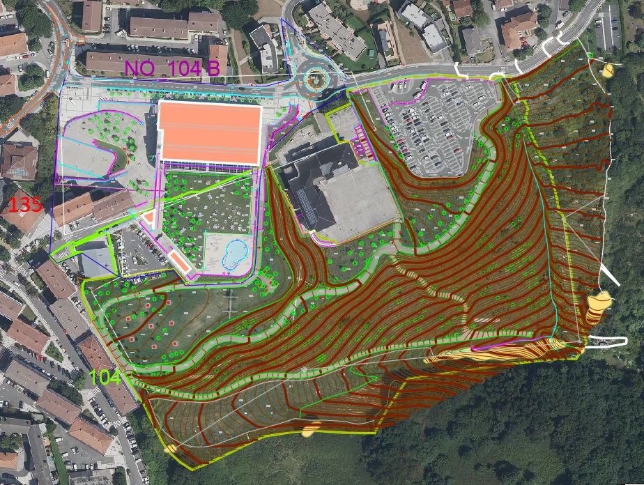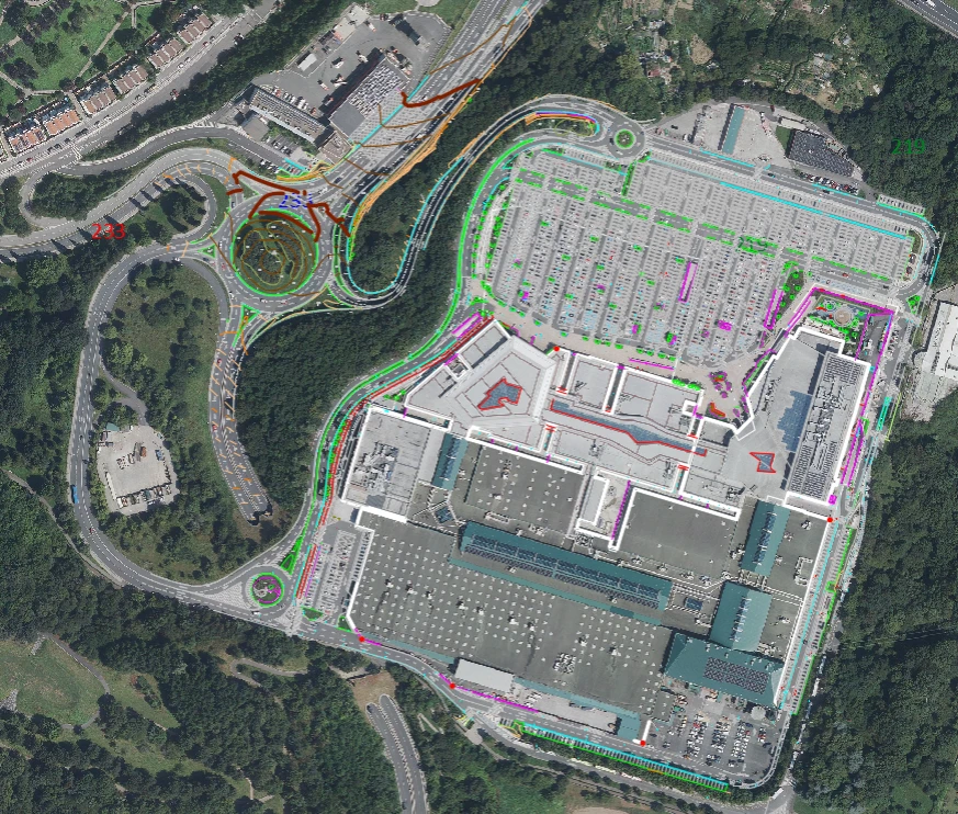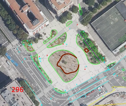
The City Council of Donostia / San Sebastián needed to keep its urban and rural mapping continuously up to date in an environment that is constantly evolving: new construction works, changes to the road network, modifications to street furniture, building alterations and updates to public infrastructure. Municipal mapping is a critical resource for urban planning, public services and emergency response, and any outdated information directly affects analysis capabilities and decision-making accuracy.
The objectives were ambitious:
Achieving these goals required a continuous, accurate and highly efficient data capture and mapping workflow.
The continuous updating of our municipal mapping through Mobile Mapping and advanced surveying allows us to work with an accurate, consistent and always up-to-date territorial database. The 360° imagery and point clouds make it possible to inspect and analyse the city without field visits, while DonostiaOinez has become a valuable tool for both municipal staff and the public.
Ibon Ramos
Head of the Municipal Data Unit
City Council of Donostia / San Sebastián
Geograma deployed a multidisciplinary team specialising in surveying, cartography, photogrammetry, map restitution and Mobile Mapping. The project covered every stage of the workflow required to ensure consistency, accuracy and long-term data quality.
The solution combined continuous reality capture, advanced surveying techniques, point cloud processing, cartographic updating and the publication of up-to-date geospatial information, creating an efficient and repeatable process for maintaining the municipality’s geospatial database.

The project is delivering an accurate, up-to-date and consistent digital representation of the municipality, providing significant operational benefits, including:
The City Council now benefits from a robust, living cartographic database that accurately reflects the current reality of the municipality and provides a reliable foundation for future planning and management.