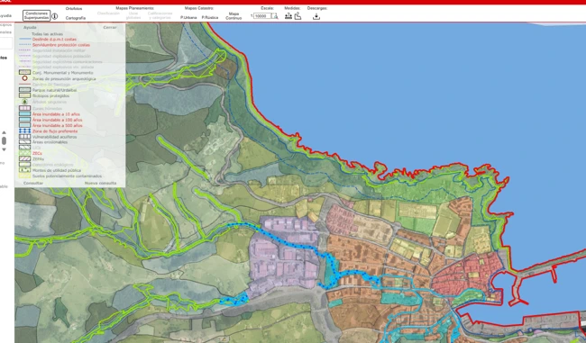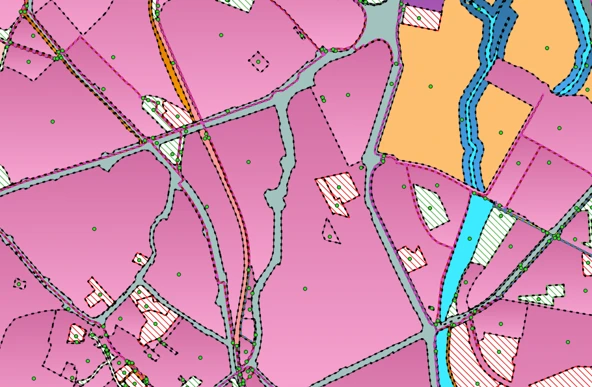
The Provincial Council of Bizkaia provides citizens, municipal technicians and professionals with an online Urban Planning Information application showing the planning regulations currently in force across the entire Historical Territory of Bizkaia, including land classification, general land uses, zoning categories, development areas and overlapping planning constraints.
To keep the graphical and alphanumeric information in the GIS supporting this application up to date throughout 2024 and 2025, the Municipal Planning Section entrusted Geograma with its maintenance.
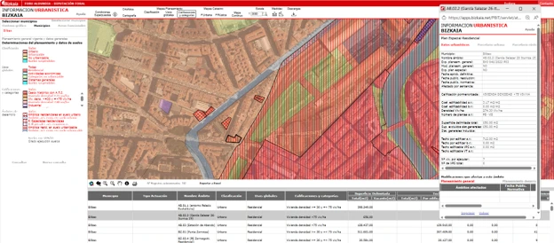
The application is only useful if it accurately reflects the planning regulations currently in force. This required:
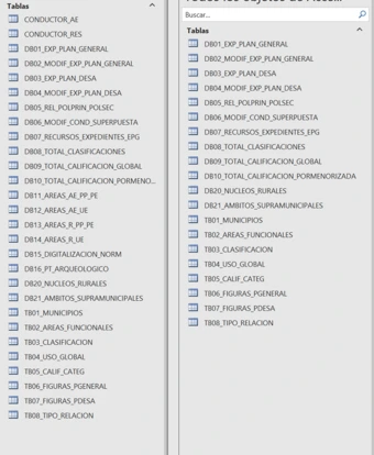
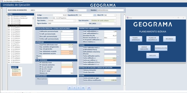
All this work had to be carried out using a legacy model containing more than 900 fields, with graphical data stored in geodatabases (.gdb) and alphanumeric information stored in Access databases (.mdb), with a significant amount of duplicated information across both formats.
Each update therefore required two separate copies of the information to be kept synchronised, increasing both the maintenance effort and the risk of errors.
Our collaboration with Geograma has enabled us to keep the urban planning information for the entire Historical Territory updated on a quarterly basis in our web application. We particularly value their technical expertise in GIS and their ability to adapt our tools without any loss of functionality.
Irma Otegui Goiburu
Municipal Planning Section
Provincial Council of Bizkaia
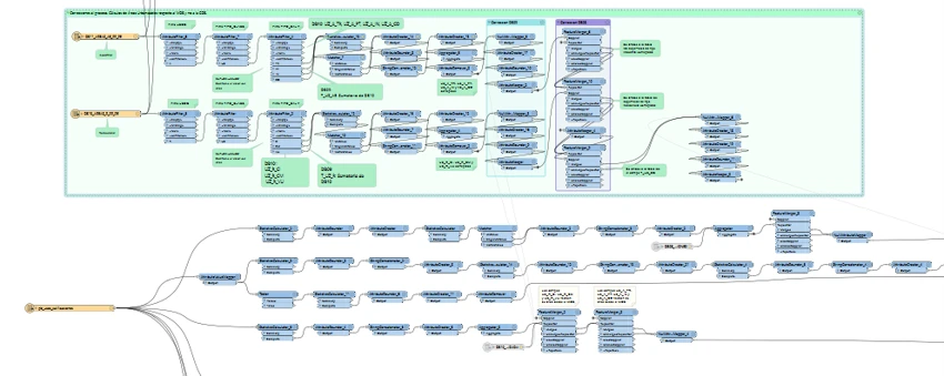
Geograma analysed the complete data model and redesigned the way in which the information was managed: