
Geograma is developing OpenTrench GIS, a methodology for inventorying utility networks while the trench is open, using a smartphone, with support from Álava Innova
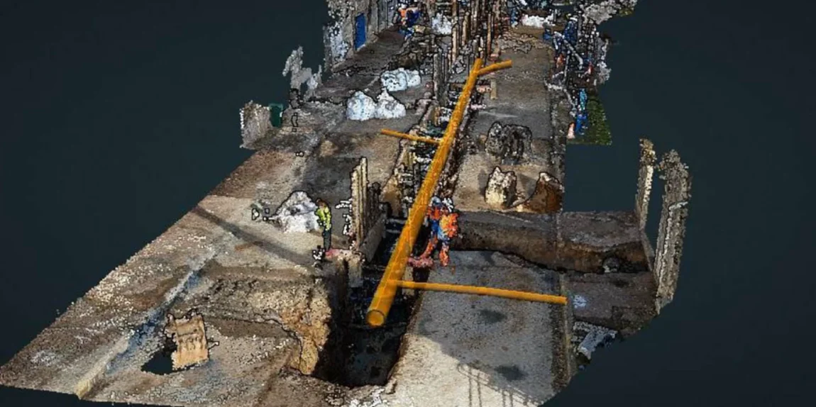
At Geograma, we have taken another step forward in our commitment to the democratisation of 3D geographic information. With the support of the Álava Innova 2025 programme, we have developed OpenTrench GIS, a comprehensive methodology for capturing, processing, georeferencing and integrating 3D information on underground utility networks into GIS systems at the critical moment when the trench is still […]