
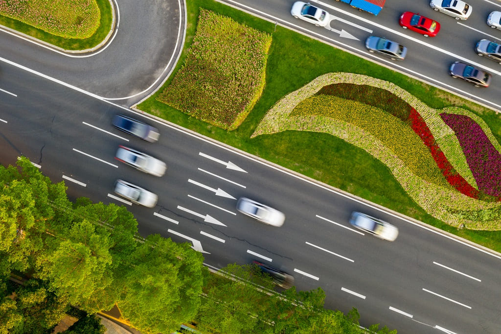
True to our philosophy, we are delighted to tell you that we continue to make progress in improving traffic and, therefore, the well-being and protection of citizens. All this thanks to the partnership we have recently established with Otonomo. We tell you what it consists of and the results it will offer in the coming years.
Geograma is pleased to announce that we have reached a new partnership agreement with Otonomo, the world’s leading provider of vehicle mobility data.
Thanks to this new alliance, our Geotraffic platform will be able to inform users about the location of different points of interest through innovative applications and services.
Through it, agile and efficient web application solutions can be created and designed to provide the customer with valuable information through which to generate queries and reports to support strategic mobility decisions.
Our CEO, Alejandro Guinea, explains the reasons that led us to work together with Otonomo:
“Otonomo can provide the rich, multi-layered vehicle data that our customers have been asking for over the years.
“One of the unique distinguishing elements of Otonomo is the depth and breadth of data we can apply to our traffic monitoring and management platform, which we have not previously been able to access.
This will allow Geogramma to gain and transform the knowledge to deliver road safety solutions, empowering our customers and providing drivers with safer routes”.

With the results obtained from this agreement, mobility will benefit in aspects such as:
- Have up-to-date and reliable information on traffic flows, including in real time.
- Optimising the management of aspects such as exhaust emissions, reducing traffic congestion, facilitating parking and having a better managed public transport network.
- Possibility to generate simulations of traffic movements.
- Shaping a safer environment for drivers, passengers and pedestrians. Based on crash data, speed, sudden changes in speed, environmental conditions, etc.
- To provide valuable data to develop infrastructures that meet the real mobility requirements of each area.
In short, another step forward for the benefit of citizens, so that they can enjoy a better quality of life through intelligent, agile, safe and green mobility. Sounds good, doesn’t it? We hope to bring you more results very soon.