
Spatial data you need to deploy renewable energy installations with GIS

Renewable or clean energy is currently at the centre of many conversations. Its growth and need are palpable. To stay on trend, they have no choice but to include GIS in their strategic planning. If you are interested in finding out why, here you will discover all the value they bring to the energy companies.
Geograma and Otonomo join forces for mobility and road safety in Spain

True to our philosophy, we are delighted to tell you that we continue to make progress in improving traffic and, therefore, the well-being and protection of citizens. All this thanks to the partnership we have recently established with Otonomo. We tell you what it consists of and the results it will offer in the coming […]
Geograma will delimit the plots on rural land in Mendaro
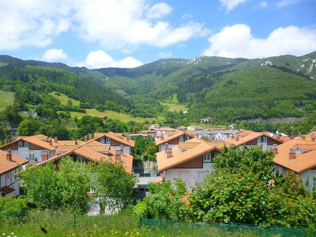
The Town Council of the municipality of Gipuzkoa trusts our team to carry out these demarcation works, which are the continuation of those already carried out in 2021 and which will mean the completion of this task, covering 100% of the territory of the municipality. The aim of these topographic actions is to clarify and […]
Geograma, present again at the Esri Spain Conference

2 years later, after the break forced by the pandemic, the largest Spanish and European Location Intelligence event is back, the Esri Conference, which will take place at IFEMA (Madrid) on 19 and 20 October. The great geospatial technology event is about to begin and we at Geograma are very much looking forward to participating […]
The importance of current status in BIM for Road Infrastructure

Geograma has developed its activity to provide solutions focusing on the territory. Cities, streets, highways and roads are the usual scenarios for Geograma’s solutions which, through the positioning, localisation and georeferencing of assets, provide the necessary means for administrations and companies to improve decision-making through localisation. Until now, CAD plans (in 2D and 3D) were […]
We look at Geograma’s 2022 and the GIS trends that will shape 2023.

At this point in the year, it is time to take stock of what an exciting 2022 has had to offer and to look ahead to what 2023 promises to be no less exciting. For this, we talked to our colleagues Sara Sanz, GIS technician, and Adrián Nicolás Penela, frontend developer at Geograma. Find out […]
Features of the BIM modelling service of the current state of road infrastructure
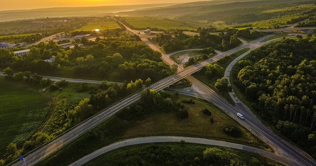
Having explained the importance of accurately and reliably knowing the current state of a road infrastructure in order to undertake a BIM project that modifies it, in this article we will identify the key points that characterise a BIM model of the current state of road infrastructures. Geograma, with the development of the BIM modelling […]