
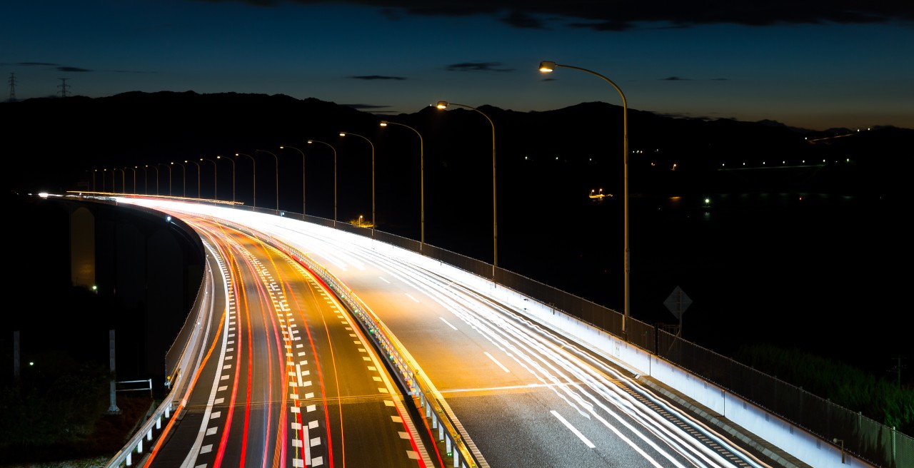
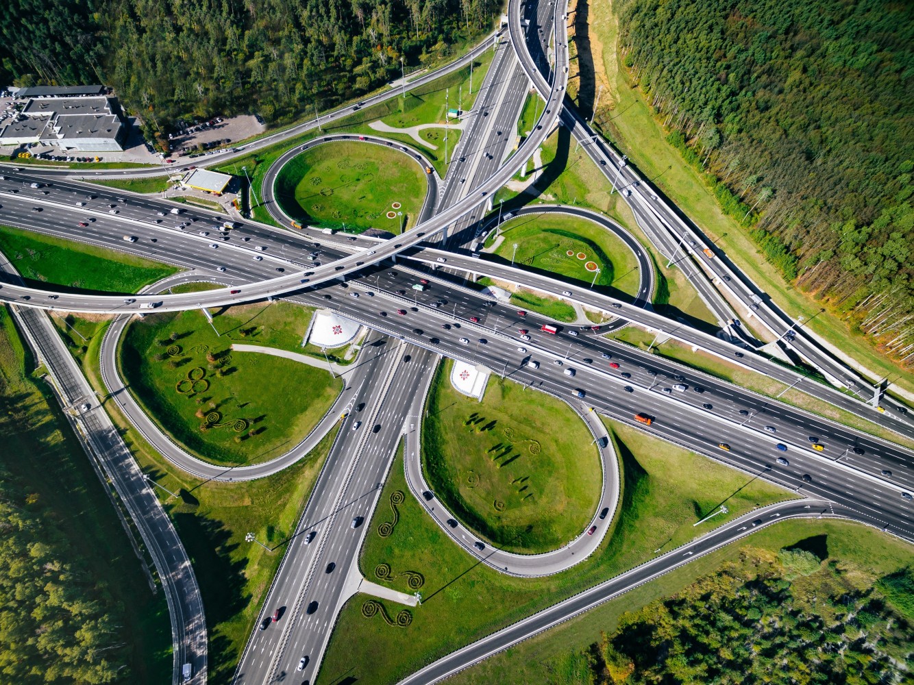
Geograma has developed its activity to provide solutions focusing on the territory. Cities, streets, highways and roads are the usual scenarios for Geograma’s solutions which, through the positioning, localisation and georeferencing of assets, provide the necessary means for administrations and companies to improve decision-making through localisation.
Until now, CAD plans (in 2D and 3D) were produced using topography, photogrammetric restitution, drones and mobile mapping services. The CAD drawings produced were used as a basis for the drafting and execution of civil engineering projects, mainly roads, housing developments, water channelling, etc.
But up to now, road infrastructure projects based on outdated 2D methods for design, testing and information transfer have led to inefficiencies for the institutions and companies leading the construction and management of these infrastructures.
Because of this, attempts are being made to improve the design and management of road infrastructure with the introduction of BIM techniques and standardised formats, which were originally designed for architecture. This process is already underway in many countries: the United Kingdom, the United States, Australia, and some EU countries, including Spain.
As is well known, BIM came into being with building projects. Building Information Modelling (BIM is the process of building information modelling),also called building information modelling is a set of processes and methodologies for the generation and management of data, initially of a building and now also in civil engineering works during its life cycle, using a digital model shared between different actors in the value chain.
Just as traditional projects needed a faithful representation of the current state of the territory or of the road infrastructure to be improved, for which CAD drawings were produced, BIM designers have the same need.
They require the 3D representation of the current state, which in the case of a new construction project is normally resolved by means of a Digital Terrain Model on which the BIM project of the new road infrastructure is based.
What happens when it comes to a BIM Road Infrastructure project to upgrade an existing road?
It is necessary to have a 3D representation of the road and if it is in BIM, all the better. The following are some considerations for the 3D representation:
- Traditional capture techniques, using topography and restitution, are mainly aimed at the production of CAD plans. Building a 3D model from such a capture is not always feasible.
- In most cases, project plans do not exist, and if they do exist, they often do not faithfully represent the reality of the road infrastructure because, when it was executed, changes were made on site that were not reflected in the final construction or AS-BUILT plans.
- Many of the BIM projects, being mostly buildings, are referenced in relative coordinates. On the other hand, for road infrastructures, being large projects, it is necessary to georeference in absolute coordinates and in the official reference system.
- BIM projects, being projects that aim to reduce time and resources in the design, construction and management of infrastructure through interdisciplinary collaboration, handle a large amount of information and great detail of the elements that make up the infrastructure. Therefore, the BIM modelling of the current state must be light and not take up a large amount of space, so that when the different disciplines of the road infrastructure contribute their information to the model, the computer tools that manage the model do so quickly.
- As BIM is based on interdisciplinary collaboration and the exchange of information with other software tools, such as Geographic Information Systems, the BIM model should allow connection to other external information systems..
- Another important aspect is the standardisation of the BIM model format, also to ensure the exchange of information.
Geograma’s Current State BIM Modelling Service for Road Infrastructures
For this reason, and because of Geograma’s know-how in 3D mass capture systems such as Mobile Mapping, as well as the three-dimensional BIM modelling of industrial spaces and Geographic Information Systems, we have designed and developed a BIM Modelling Service of the Current State of Road Infrastructures with the following premises:
- It shall faithfully represent the current state of the road infrastructure to be upgraded.
- The road infrastructure shall be represented three-dimensionally and BIM compatible.
- It shall be georeferenced in the official coordinate system, i.e. in Spain planimetrically in ETRS89 and altimetrically REDNAP08.
- It should be able to represent large areas, as opposed to buildings which represent spaces which, however large they may be, never reach the dimensions of a road, which can be several hundred kilometres long.
- It shall have coding of the elements for connection to the Geographic Information Systems.
- It shall have a classification of the elements represented in accordance with the regulations.
- The BIM model shall be delivered in standard format.
This new service that we have developed allows engineering companies and the administration to have a BIM model of the current state of a road infrastructure with guarantees to start the BIM project that modifies the road.
In a future article, we will unveil the Features of the Road Infrastructure Current State BIM Modelling Service.