
Getting the best out of public transport implies knowing more than the technical information. There are many services that are connected to each other: transshipment with other lines, intermodality options, parking, etc. To offer the citizens this data in an understandable way, the CRTM uses zonal maps. Geograma helped to develop these plans, updating and improving the metro network. Here we bring you the results.
Madrid Regional Transport Consortium (CRTM) is the public transport authority in the Community of Madrid. It’s in charge of the integrated management of the public transport system in the city. Among its functions, these are the more relevant:
- Planning public transport infrastructure.
- The organization and management of public transport operation programs.
- Fees’ implementation.
- Funding methodologies.
- Controlling and monitoring the operators’ economic management.
- Relations with customers of public transport.
The challenge: updating zonal plans
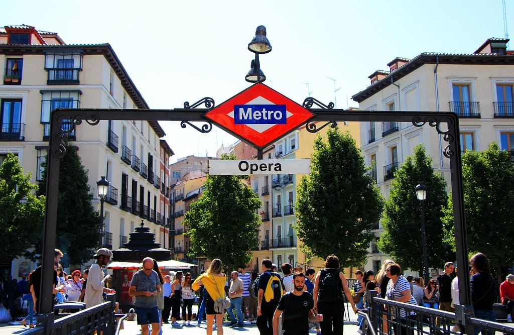
Zonal plans can be found, for example, at the subway stations and the train platforms. They help the user to orient himself, not only within the transport network, but also allows him to have a global vision of the area where he is and services he can count on.
Until then, the CRTM had the Series 5 of these zonal plans (S5) for Madrid capital. Those plans were obsolete and needed to be reviewed. Something that was requested in March 2019.
What solution was proposed?
The purpose was to go a step further in the cartography maintenance model of the zonal periods. This way, maintenance would be faster, simpler and more efficient.
Working with a cartographic database, we wanted to create a maintenance model that, in addition, was largely automated or, if not possible, assisted.
In these new zonal maps all the relevant information for the user would appear: transport lines, services at the stations, biciMAD and REB (Bicycle Parking Network), etc.
What results did we get?
Thanks to the work done by Geograma in collaboration with the CRTM technical team, the Madrid public transport user can now have a very realistic vision of the services that are offered.
In addition, the integrated automation allows updating the zone plans even if they are already delivered. That’s very useful when there is any change in the metro lines or services, or in the bus lines near the station.
Given the success that these zonal plans have had among the users, they are being also built for the commuter trains network and the transport management offices.
Currently, there are more than 60 updated zonal maps in metro, commuter and EMT bus networks. Infrastructures that are used by millions of users, daily and in different places throughout the Community of Madrid.
The most representative examples are the following:
- Large Stations: Atocha RENFE, Avenida de América, Chamartín, Méndez Álvaro, Moncloa, Nuevos Ministerios, Plaza de Castilla, Plaza Elíptica and Príncipe Pío among others.
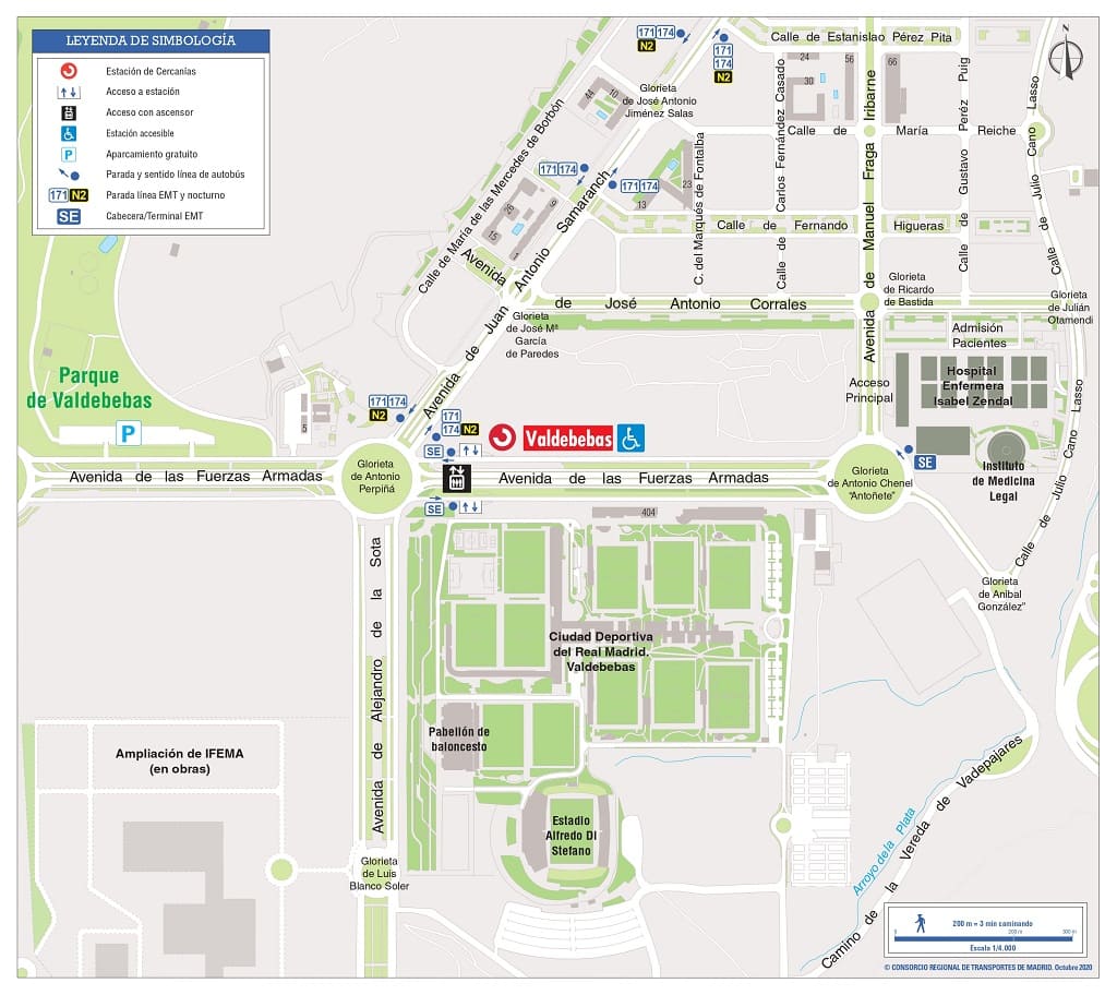
- New Isabel Zendal Pandemic Hospital (in the area of the Valdebebas) commuter station.
- Both ends of what was the first Metro line, Cuatro Caminos and La Puerta del Sol, whose complete pedestrianization was included in the maps when it was carried out last July.
- Estación del Arte, where you can enjoy the 3 best-known museums in the capital: Prado National Museum, Reina Sofía National Art Center Museum and Thyssen-Bornemisza Museum.
- Madrid-Barajas Adolfo Suárez Airport.
- Alcalá de Henares, where the Cervantes Train brings visitors to take a look at the world of the author of Don Quixote and the Spanish Golden Age.
- Puerto de Navacerrada, where many Madrilenians make getaways to nature or to the ski resort in winter.
It is the purpose of the CRTM to continue with the realization of the zonal plans of all the stations in the metro network without neglecting the maintenance and updating of those already carried out to date.
From Geograma we continue working so that the whole society has a better understanding of its environment through geographic data. Therefore, if you have a project in which you think we can make our contribution, do not hesitate to contact us and tell us about your case. We really want to hear from you.