Premature Deaths per Year due to Pollution in Spain
+0
Challenge
The main challenge of this project was to get users to trust the reliability of the data, as well as to integratethis new Floating Car Data (FCD) based data source into the daily work of the Department.
The key was also to create and design an agile and efficient web application that would provide the client with valuable information through which they could generate queries and obtain reports that could support strategic mobility decisions.
Working with Geograma contributed very positively to the final product. The mix of different profiles (programmers, analysts, designers,…) and their involvement, contributed very positively to a successful result.
Bodil Sundberg Project & Marketing Manager at Terratec
Solution
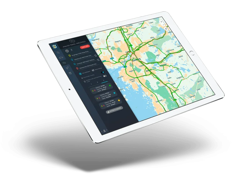
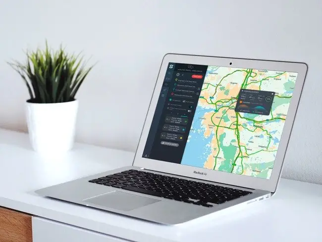
A web application specifically designed and developed to offer the best user experience (UX/UI), provided as Software as a Service (SaaS).
The solution offered the following functionality:
Monitoring of urban mobility: allows consulting the traffic situation in real time.
Traffic and road safety studies: displays historical speed and travel time information for predictive analysis and corrective measures, using TomTom’s historical traffic information.
Repository of traffic reports: Once the analyses are generated, they are stored as historical data, allowing the user to compare the data of the reports already generated.
Report preview: Allows to compare reports in a window with 4 synchronized maps.
Results
The availability of both real-time and historical DCF information has enabled the Traffic Department of the City of Gothenburg to combine this new source with data from its traditional Data Collection Stations (DTS) to improve decision making.
Achieving sustainable management, both environmentally and socially, is a much closer reality thanks to the achievement of the project.