
The municipalities of Astigarraga, Urnieta and Lezo managed their water supply and sewer network inventories using a variety of CAD and GIS formats, with different levels of accuracy, completeness and data quality.
This situation made it difficult to:
A significant improvement was required in terms of georeferencing, attribute quality and the consolidation of all information into a single corporate GIS environment.
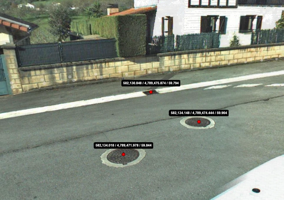
The project’s objective was to create and harmonise the inventories of the water supply and sewer networks across the three municipalities by capturing field data and managing it within a corporate GIS platform.
The main challenges included:
Project Scope
This project has finally provided us with a complete, accurate and consistent digital inventory of our utility networks. We now work with reliable information that significantly improves planning, maintenance and technical decision-making.
Imanol San Sebastián
Head of Municipal Services
Municipality of Astigarraga
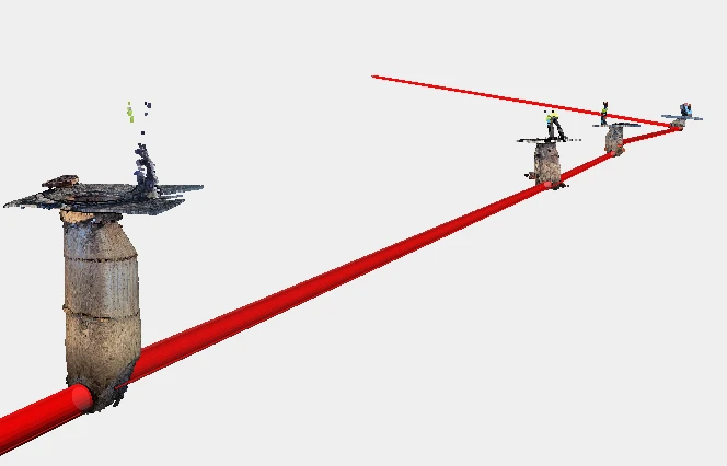
Geograma implemented a comprehensive solution combining field data capture, data standardisation, GIS migration and deployment of a corporate asset management system.
The solution included:
Quantitative Results
Added Value
The municipalities now benefit from a single digital platform that enables them to: