More than 130 km of complete road survey in Malta with Mobile Mapping Technology
Geogram in figures
Since
2025
Projects
+0
Experts
+0
Challenge
The objective was to inventory the most relevant elements of 130 km of roads, with a high density of these elements per kilometer and the need to provide control points to ensure the total accuracy of the project.
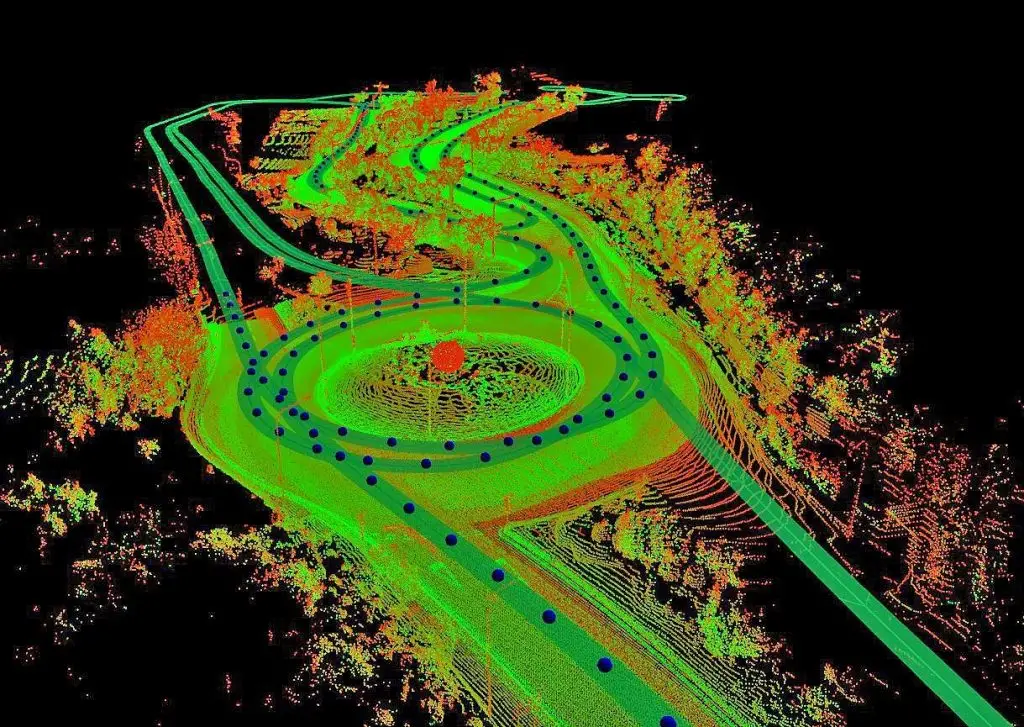
Geograma’s mobile mapping technology not only offers very fast development, but also provides a lot of additional information with photos and point clouds, along with the security of not having to measure on foot on roads without the need for traffic cuts.
Geograma has participated in the surveying of more than 130 km of the main roads that run through the islands of Malta and Gozo.
For the development of the project requested by the Ministry of Transport of Malta in record time, Geograma has used its mobile mapping technology that provides security in the development and improvement of processes related to geographic information and land management.
Thanks to the study prior to the realization of the project, Geograma managed to define the local coordinate system from GPS measurements and control points, so that the generated topography could be accurately superimposed on the existing mapping in Malta
Juan Miguel Álvarez Paredes Business Development Director of Geograma.
Solution
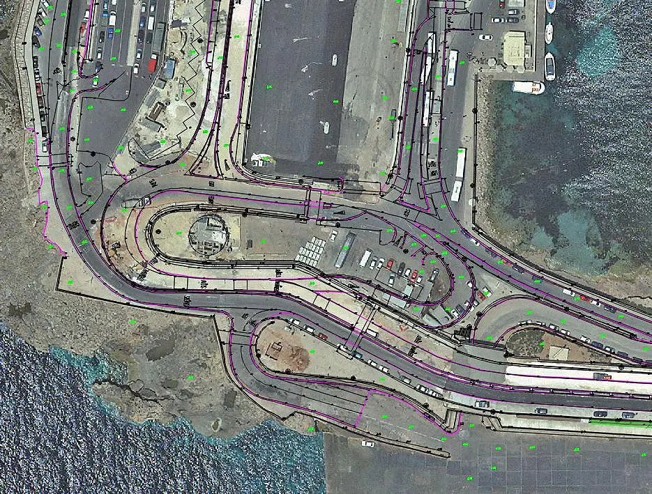
The objective was to create CAD plans of 130 km of roads, to position and inventory all the elements of interest to improve traffic management and to plan road improvements and modifications with updated data, thanks to the complete data collection of Geograma’s mobile mapping.
Geograma’s mobile mapping technology not only offers very fast development, but also provides a lot of additional information with photos and point clouds, along with the security of not having to measure on foot on roads without the need for traffic cuts.
The field work was carried out using Geograma’s Mobile Mapping technology, which consists of 3D scanning using mobile sensors, with data processing carried out on the islands’ own bases and verification control points in the most critical areas. Classical topographic survey activities were also carried out in the most inaccessible areas.