Geodata Management and Processing
Specialized services for the comprehensive processing of geospatial data
Geospatial data processing, design and edition of cartographic products and Earth Observation (EO).
From its collection and analysis to its integration, updating and visual representation. These solutions improve the quality of territorial information, facilitate its interpretation and support strategic decision making.
Geo-Integration
We offer geospatial and thematic data integration and structuring services.
More information
We work with urban, environmental and cadastral data, among others, for cataloging, transformation, loading and updating.
We design geospatial databases adapted to each project and perform conversions between formats, environments and data models, ensuring interoperability and transversal use of the information.
We offer the generation of optimized formats for analysis, visualization and sharing of geospatial data, such as:
- COG (Cloud Optimized GeoTIFF)
- Vector Tiles
- GeoParquet
- BIM in IFC format
It is the ideal solution for projects that require homogenizing, maintaining and exploiting territorial information in a rigorous way, both in traditional environments and in cloud and multidimensional architectures.
Earth Observation (EO)
We process and analyze satellite imagery and earth observation data.
More information
We use remote sensors to monitor the territory, detect changes and generate derived products such as slope maps, vegetation indices or flood zones. We apply this solution in environmental management, emergencies, precision agriculture and urban planning.
Maps and Graphics
We design and edit customized cartographic and visual products.
More information
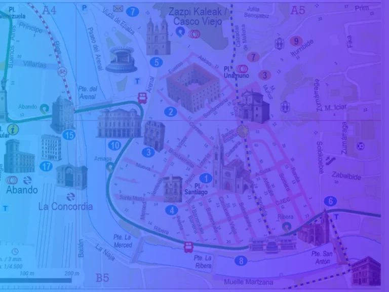
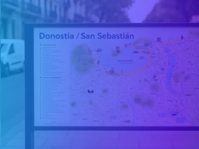
We produce municipal, tourist, transportation and environmental maps, in digital or printed, static or interactive formats. We also generate customized graphics that transform data into clear, useful and accessible information for different types of users.
CONTACT WITH US
If you want to have some of our services contact us and we will advise you to give you the best solution.
What are we experts in?