
Data-driven innovation in the European Union: emerging approaches to achieve it

By now, it is clear that without data there can be no social progress. The EU is very clear about this, and for this reason it is constantly carrying out initiatives to find new ways of progressing as a society with data as the basis for everything. One of them is the carrying out of […]
Geograma, present at the Madrid 2022 Half Marathon through cartography

Geograma has worked on the creation of a map for the Madrid 2022 Half Marathon website. Specifically, in the generation of the corresponding cartography so that runners and other attendees can attend the “Feria del Corredor” without any problems.
8 applications of GIS in agriculture

According to the Government, the usable agricultural area in Spain is almost half of the entire national territory. Furthermore, the sector contributes 9.7% of GDP. This leading role of agriculture makes it necessary to include technologies that allow for better management of current and future resources. One of them are the GIS or Geographic Information […]
Geograma, immersed in the digitisation of road networks

At Geograma, we are in the final stages of an R&D&I project based on the design and development of a BIM modelling service of the current state of road infrastructures. An I-D+I project financed by the Provincial Council of Alava through its Alava Innova programme. We tell you about it in this article.
What is the role of GIS in urban planning projects?

The creation of tomorrow’s cities cannot be conceived without the participation of Geographic Information Systems or GIS. These have brought a set of features and possibilities to urban managers that make them much more efficient in their day-to-day work, optimising the results of the projects they work on. If you want to know more about […]
Geograma, protagonist at the Geospatial Forum 2022 in Amsterdam

The Geospatial Forum 2022, held in Amsterdam, was an event that we made the most of and from which we returned very satisfied with all the results achieved, as well as meeting old friends and great professionals from the sector. An event that consolidates Geograma as a key player in the European ecosystem of GIS […]
The whole Geograma family meets for an unforgettable day out

The entire Geograma team recently celebrated a get-together that served to further strengthen the professional and personal bonds that unite us, as well as to introduce you to our new offices and to close ranks around the goals we have set ourselves. As we consider you to be one of us, we’ll tell you all […]
GIS for the creation of a digital twin
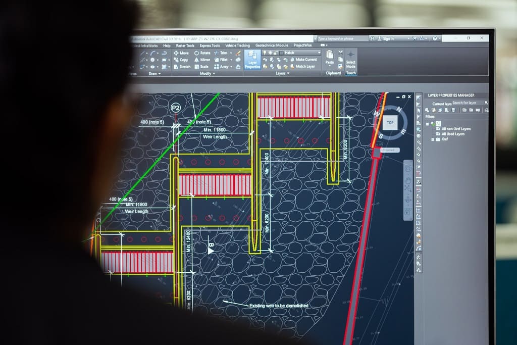
How to update and maintain cartographic bases for thematic maps in an agile way.

Cartographic bases are the foundation of a thematic map that is fit for purpose and truly useful to the viewer. Therefore, ensuring that its content is properly adjusted to the reality of each moment is key, just as important as updating the thematic information itself. This requires ongoing work that should be streamlined as much […]
Achieving the Circular Economy with Geographic Information Systems

The concept of the circular economy is becoming increasingly familiar to us. However, although we hear it repeatedly, it still raises many questions about its nature and advantages. These doubts multiply if we talk about how GIS or Geographic Information Systems contribute to its development. With this article, from Geograma we want to clear them […]