
Geograma, present again at the Esri Spain Conference

2 years later, after the break forced by the pandemic, the largest Spanish and European Location Intelligence event is back, the Esri Conference, which will take place at IFEMA (Madrid) on 19 and 20 October. The great geospatial technology event is about to begin and we at Geograma are very much looking forward to participating […]
The importance of current status in BIM for Road Infrastructure

Geograma has developed its activity to provide solutions focusing on the territory. Cities, streets, highways and roads are the usual scenarios for Geograma’s solutions which, through the positioning, localisation and georeferencing of assets, provide the necessary means for administrations and companies to improve decision-making through localisation. Until now, CAD plans (in 2D and 3D) were […]
We look at Geograma’s 2022 and the GIS trends that will shape 2023.

At this point in the year, it is time to take stock of what an exciting 2022 has had to offer and to look ahead to what 2023 promises to be no less exciting. For this, we talked to our colleagues Sara Sanz, GIS technician, and Adrián Nicolás Penela, frontend developer at Geograma. Find out […]
Features of the BIM modelling service of the current state of road infrastructure
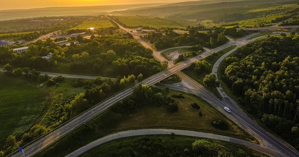
Having explained the importance of accurately and reliably knowing the current state of a road infrastructure in order to undertake a BIM project that modifies it, in this article we will identify the key points that characterise a BIM model of the current state of road infrastructures. Geograma, with the development of the BIM modelling […]
What applications does the digital twin have in the automotive industry?
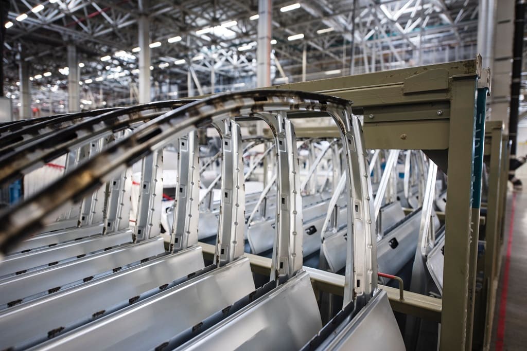
If you are part of the automotive industry, you will already be familiar with digital twins. It is very likely that you are familiar with its concept and even how it is applied in your company. But… Do you really know its full potential? To make sure you don’t miss a single detail of the […]
Geograma will participate in this EUROGI workshop on the usefulness of open geodata.

The workshop, entitled “Beyond SDI: Open data in a sustainable geospatial ecosystem”, aims to bridge the gap between the existence of open geographic data and its practical utility by presenting some real use cases. This will take place next Tuesday 24 May at 14:00 CET and, during the event, our CEO, Alejandro Guinea, will give […]
Geograma at BIND 4.0 Demo Day: discovering the technologies most used by industry leaders in their digital transformation
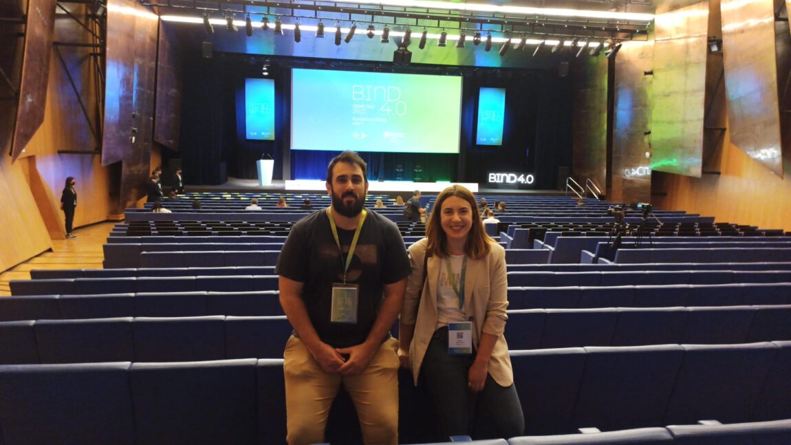
Recently, a representation of Geograma attended and participated in the BIND 4.0 Demo Day event in Bilbao. An occasion that we did not miss to get up to date with the reality of the industry and highlight everything we can do for the digitisation of the sector. Will you join us?
3D scanner for buildings, what is it used for and what are its advantages?

One sector that has been able to make the most of the options offered by technology is the construction industry, which would not be possible without the use of tools such as 3D scanners, present in the most successful projects. This would not be possible without the use of tools such as the 3D scanner, […]
How to generate quality spatial data for GIS
The concept of quality is something we all think we understand, but often fail to define exactly. The same thing happens with spatial data. For this reason, from Geograma we leave you this article in which we clarify it, as well as we emphasize the main aspects involved when generating geographic information with high quality […]
Data-driven innovation in the European Union: emerging approaches to achieve it

By now, it is clear that without data there can be no social progress. The EU is very clear about this, and for this reason it is constantly carrying out initiatives to find new ways of progressing as a society with data as the basis for everything. One of them is the carrying out of […]