Industrial Indoor mapping: Asset monitoring Solutions
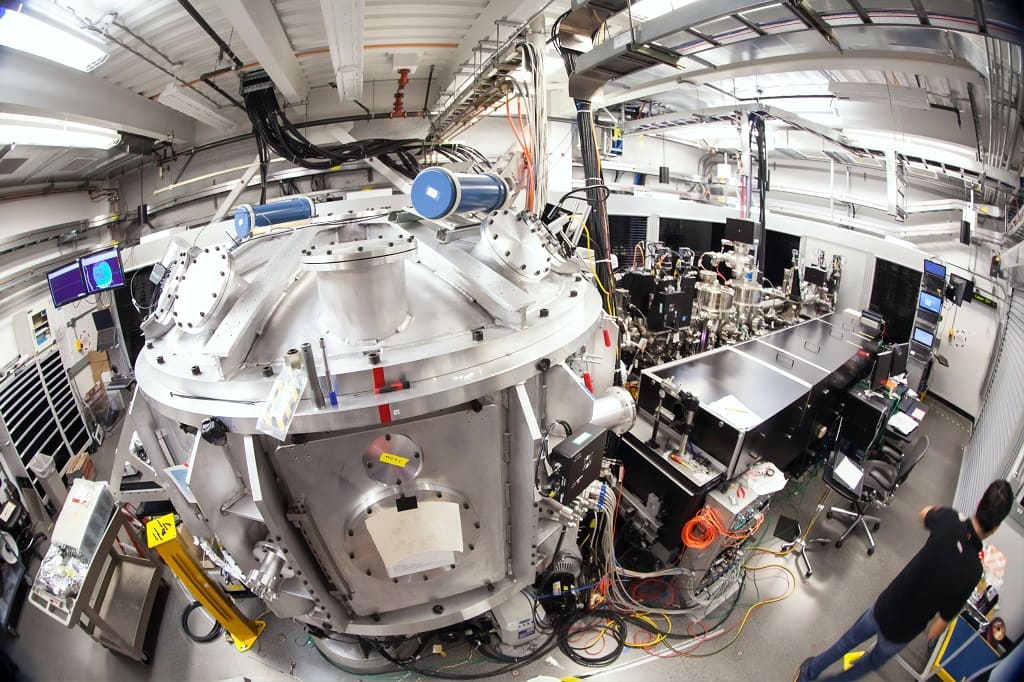
The industry, thanks to the digital transformation of the sector, is getting “smarting”. This situation creates the need for visual intelligence that allows you to locate the data from said digitization on a map. In the same way that maps (outdoor) and geolocation add great value to a multitude of sectors, there are solutions that […]
How do GIS benefit logistics and distribution companies?

For logistics companies, having an optimal service that suits every situation requires attention to every detail. Therefore, they need to know in a precise way where their work area is. To make it possible, technological tools are required. Specifically, Geographic Information Systems (GIS). If you would like to know how it works, we invite you to […]
Geomarketing: How to use Location Intelligence to improve your sales

Thanks to the application of GIS and Location Intelligence solutions, it is now much easier to perform marketing and commercial actions that provide a good return on investment. This technological contribution has shaped the concept of geomarketing. Do you know what it’s based on, what it has to offer and in what situations you can […]
Industrial Topography: Reasons to accurately measure your factory facilities and how to do it

An industrial plant manager must be familiar with every inch of its facilities. This requires having the exact measurements of your factory. What area does the factory cover? What space do machines and production lines occupy? Do the parts conform to the theoretical design? Responding to all these questions is much easier and agile thanks […]
Knowing the traffic flows in Bilbao and the Rontegi Bridge

How can an analysis of origin-destination matrices contribute to the planning, design and operations of traffic in the neuralgic axes of a city? We present the case of the metropolitan area of Bilbao, focusing on the Rontegi Bridge. A work carried out by SyT Consultores and Geograma.
How to optimize cadastral data consultation
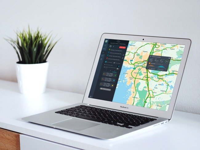
Cadastre data is a valuable source of information frequently used by individuals, Administrations and companies. Its users greatly appreciate being provided with a way to obtain this data. Throughout this article, we bring you solutions to optimize cadastral data consultation. We also describe the main characteristics of the cadastre and why it is so useful […]
6 trends for smart cities in 2021

If you work in the local Administration, the concept of Smart City will be familiar to you. It’s always interesting to be updated since smart cities keep evolving day by day. In this article, we give you the guidelines to manage smart cities in 2021.
Fundamentals and applications of the INSPIRE directive

Borders disappeared from the European Union many years ago. Unfortunately, for geographic information, borders do still exist. These “borders” are technical aspects that don’t allow the homogeneous treatment of geodata. This means that one country can’t extract the exact same value from the data generated by other countries and, when possible, it requires a lot […]
Geolocation, football and music

Geolocation is not a simple compilation of data. In fact, it can be surprising how much value we can get out of it. In this article, we share with you very illustrative cases about geolocation in relation to the most common entertainments, such as music and sports events.
What do we get with warehouse digitization using Indoor Mapping and IoT?

The industry is in a digitization process, which shapes the concept of Industry 4.0 (or Smart Factory), and has also reached a key aspect: storage logistics. This means technologies such as IoT (Internet of Things) and Indoor Mapping techniques are present in the industry. What are the advantages they bring?