
Geographic Information Systems (GIS), what are they and what are they used for?

Have you noticed that the use of maps is more and more frequent around you? Maps that are also becoming highly interactive. That’s because the geographic context helps understanding reality. Concepts such as Geographic Information Systems (GIS) are more valued nowadays thanks to technological improvements. Do you know GIS fundamentals and why they are so […]
Zonal plans for Madrid Regional Transport Consortium (CRTM)

Getting the best out of public transport implies knowing more than the technical information. There are many services that are connected to each other: transshipment with other lines, intermodality options, parking, etc. To offer the citizens this data in an understandable way, the CRTM uses zonal maps. Geograma helped to develop these plans, updating and […]
Geograma, the challenges of a new reality that claims for geographic information

If there’s a defining term for the current situation of companies and institutions is incertitude. We can’t know what’s going to happen in 2021 but we can tell you that we have resources so you can face what’s coming. No matter what happens we know that the space component will be the key to effective […]
Analyze audience passing near by your billboard or store, using traffic density data

Add the traffic density variable of road networks in your location intelligence analysis (Location Intelligence) Get this indicator related to each road stretches and street network of TomTom TomTom Traffic Density TomTom Traffic Density provides unique insight on typical traffic volumes for the complete road network, for every hour and day of the week. The […]
Rediscover how Mobility is being changed in your city
In Europe, traffic of private vehicle on cities, represent a 35-70% of all modal distribution; this percentage represents a great impact on the infrastructures´ occupation and implies a detailed and continuous analysis to optimize and predict possible changes. The incursion of COVID-19 and its impact on mobility is still unknown, it makes us think that […]
Does your Master Data Management (MDM) contain a master of postal addresses?
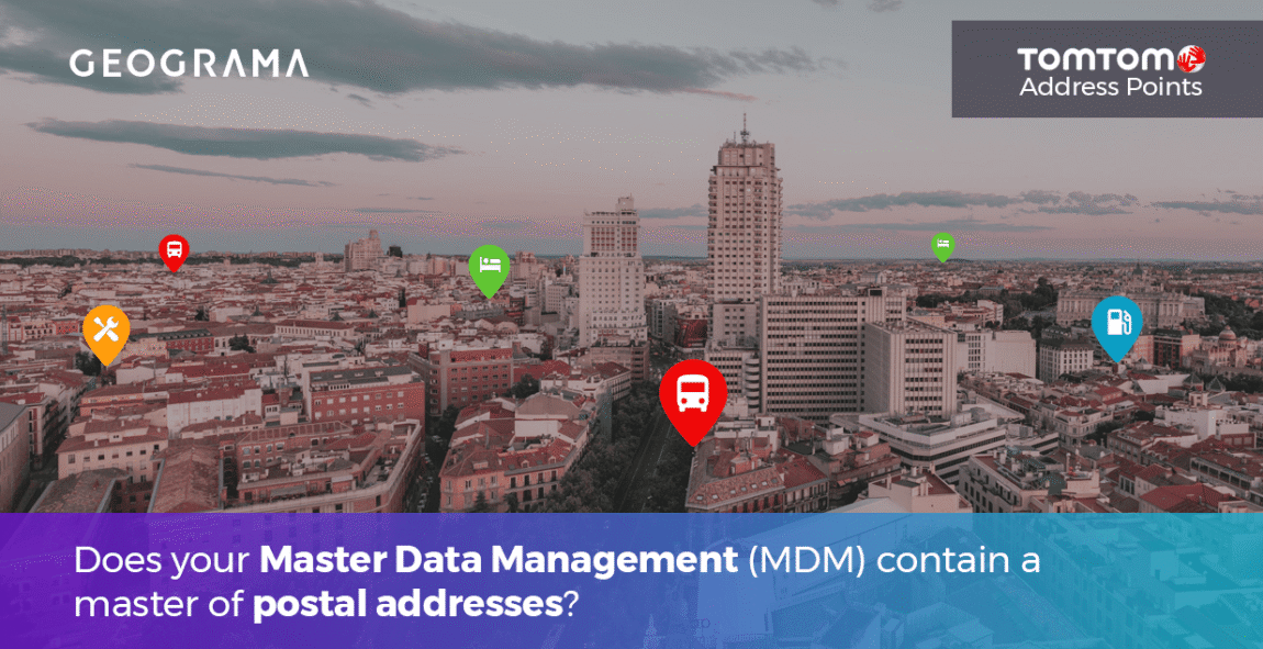
Integrate an address master into your Master Data Management ecosystem (MDM) Get a unique Primary key per postal address Most geocoders estimate locations by interpolating address ranges. Address Points delivers the ultimate in geocoding accuracy by pinpointing discrete, actual street addresses to physical buildings or property parcels. To ensure the highest level of accuracy, TomTom […]
Half Ton less of CO2 in the environment thanks to the use of the bikes in Geograma
Half Ton less of CO2 in the environment thanks to the use of the bikes in Geograma Within the initiative for the promotion of the use of the bikes in Geograma, we were able to account that the persons who are coming by bike to our offices are saving more than half of Ton of […]
Geograma participates for its second year at the Smart City Expo in Barcelona

This is the consecutive second year that Geograma participates with stand at the Smart City Expo World Congress 2018, which takes place on 13,14 and 15 Nov. in Gran Via Venue, Barcelona. Do not miss the opportunity to get the latest generation of Geograma´s portfolio, guided to territory management for Smart Cities, visit us at […]
Platinum Partner – Geograma is recognized with the maximum service level by Orbit GT
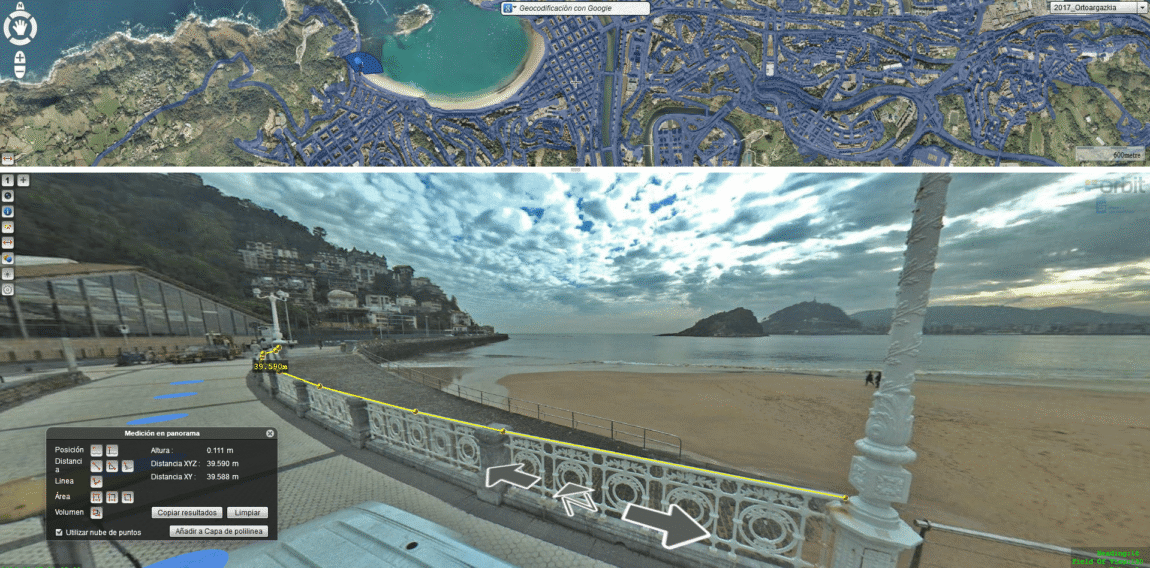
Geograma has recently consolidated its leadership as a provider on Mobile Mapping applications, through by a Platinum Recognition by the software provider @Orbit GT. In this way, @Geograma becomes the only service company in Spain with this level category, and one of the unique existing 14 worldwide entities. Geograma, first entity to carry on Mobile […]