
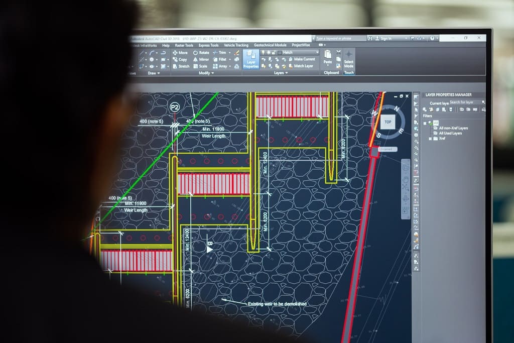
What is a digital twin?
The digital twin not only includes objects, but also provides information about the processes involved, existing relationships and much more. For its creation, it is necessary to have data from different sources. Among them are Geographic Information Systems or GIS.
Advantages of applying GIS in digital twins
GIS has fit seamlessly into the digital twin ecosystem. To prove it, there is no better proof than the long list of benefits that its use brings with it. These benefits range from the most cross-cutting to those that focus on more specific applications and sectors:
They improve decision making, as they are based on realistic and current data.
- Reduced management risks and thus reduced costs of a wrong decision.
- Improving business processes.
- Optimisation of operational efficiency.
- It facilitates the automation of processes.
- Possibility of obtaining information in real time.
- It opens the door to outcome prediction.
- Simplify workflows.
- Better land and territory management.
- Smarter use of resources.
Optimisation of the environmental analysis and of the factors involved.
- More efficient urban, transport and logistics planning.
- They provide more context for each project.
- It makes it easier to share information between all the actors involved in the project and encourages collaborative work.
- It creates relationships between variables that were previously unrecognisable.
What key functionalities do GIS bring to digital twins?
1.- Geolocated data capture
Collection of data of various types.
- Model generation
- Definition of information flows.
2.- Visualisation of information
- Representation in dashboards.
- Visualisation tools.
- Report generation.
- Possibility to receive data in real time.
3.- Sharing
- Communication between actors involved in the project.
- Closer cooperation.
- Widespread data access.
- Greater transparency.
- Avoids delays in the completion of projects.
4.- Advanced analysis
- Artificial intelligence prediction.
- Automation of actions.
- Simulations of behaviour under different conditions.
Applications, uses and value added by GIS to digital twins
Geographic Information Systems or GIS provide location data on valuable information related to aspects such as soils, materials, traffic levels, climatic factors, electricity, water and gas supply networks, etc.
This opens the door to a deeper and more complex analysis of these datasets and the models involved. GIS, from location data, makes it easier to identify trends, patterns, patterns, routes and many more results of interest to the managers of each project.
Undoubtedly, one of the most widespread uses of digital twins thanks to the contribution of GIS is the simulation of the behaviour of the systems being studied. In this way, their functioning and/or performance under various conditions can be analysed and appropriate actions can be taken.
For instance, GIS-supported digital twins can provide us with the results that climate change will have on different natural environments. In relation to this, there are initiatives such as this one, which proposes the creation of a digital model of the oceans that will allow us to know them in greater detail in order to preserve them in the face of the environmental challenge we are facing.
GIS and digital twins also join forces to benefit the performance of companies of all kinds and public entities. One example of this is the possibility of creating digital twins of roads and traffic movements that make it easier to understand the different flows under certain conditions.

In this way, the best routes can be generated for logistical operations, management of public transport networks and emergency response.
Another interesting option is the creation of digital city twins for effective urban planning by municipal governments. As well as for better management of public services. This incorporates data sources such as LiDAR, cadastre, cartographic databases, BIM, IoT sensors, etc. All interconnected.
Similarly, the architecture, engineering and construction sector is already taking advantage of the benefits of digital twins together with GIS for the design and construction of various infrastructures. With them, the environments are better known and a flow of data is generated that multiplies the interaction and communication between the parties.
With this text, we hope to have given you an orientation of how important and essential the inclusion of geolocated data is for the generation of digital twins. This greatly enhances their usefulness and the range of possibilities for their application, multiplying their value.
If you are considering developing a digital twin for your company or organisation, Geograma can help you integrate and make the most of the geographic data you need. Get your digital twin closer to you by contacting our team now.